360. Christchurch to Sandbanks – Poole – The Finish!

So it had finally come down to this, a relatively simple jaunt down to the beach and a walk along the promenade of a popular seaside destination in order to complete my walk around the coastline of Great Britain. By some fluke, my numbered trip report I noted was to be 360! Quite coincidental and not planned, but appropriate, although I had done more than 360 reports due to the extra reports required in my Use of Ferries decision.

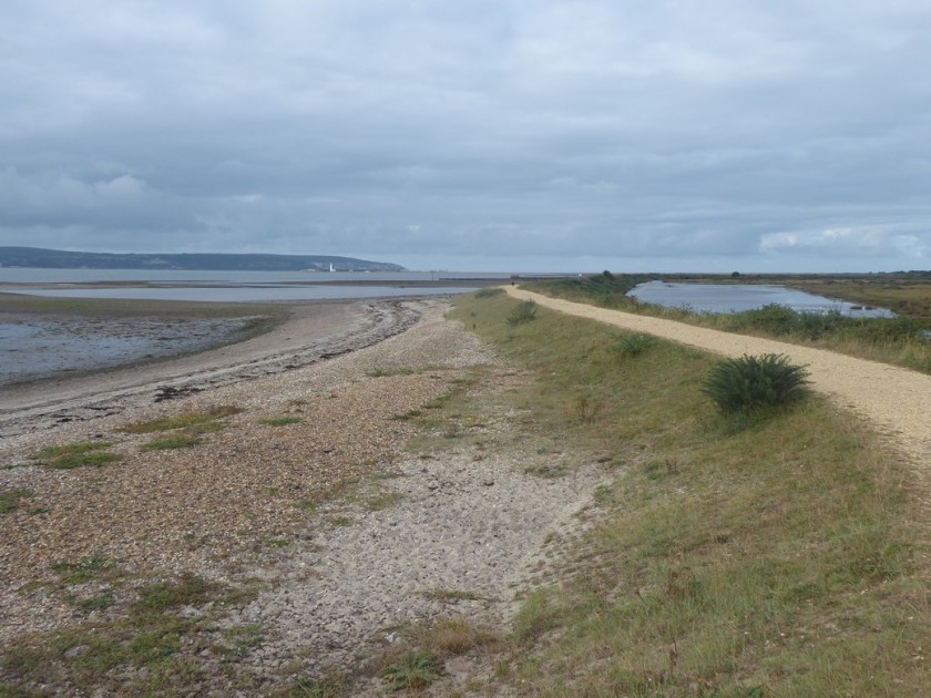
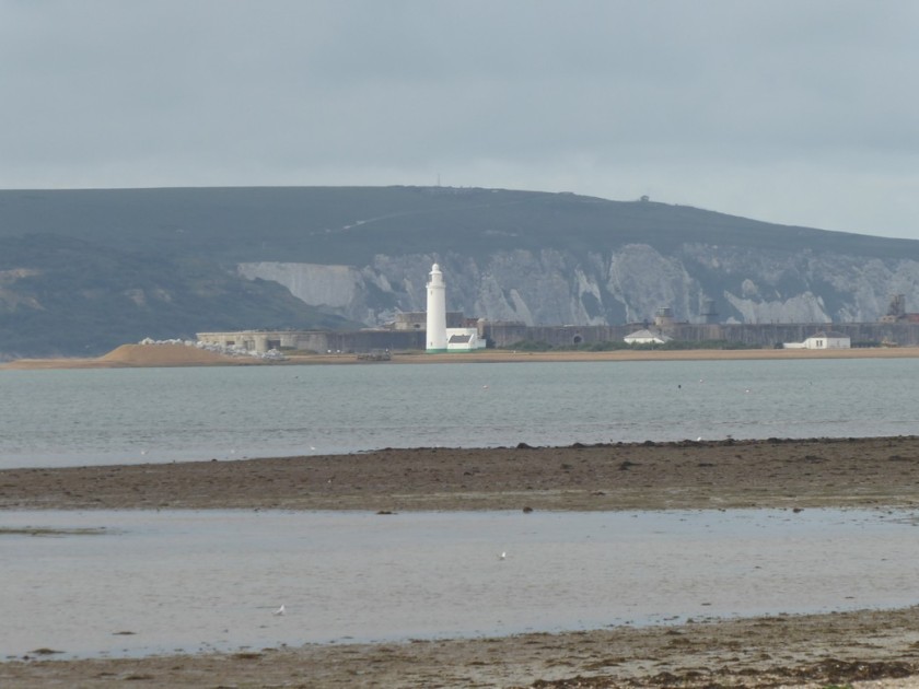
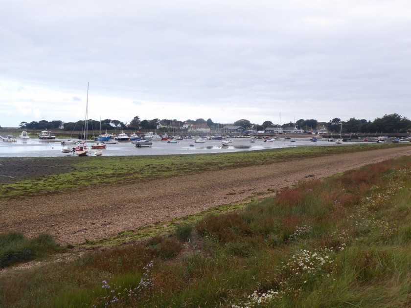
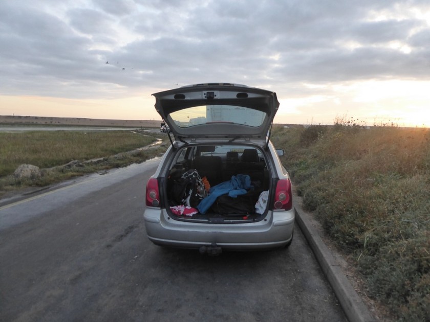
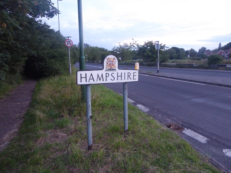
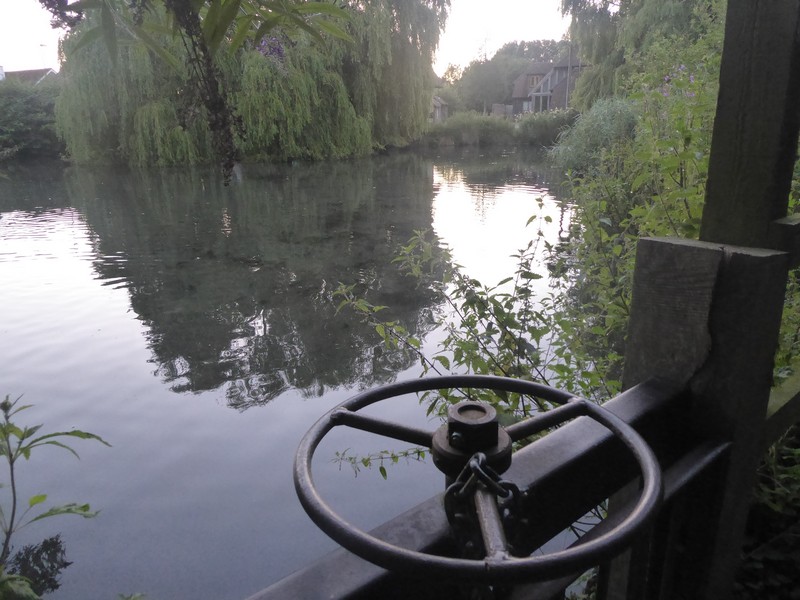
I had spent the night in the back of the car due to a mix up of my hotel booking. I had slept in the back of the car many times before, especially in the north of Scotland. However, then I had a pillow, a sleeping mat and a four season sleeping bag – I had none of these and it was incredibly uncomfortable and cold as I tried to get some sleep. I had very little sleep as I continually checked my watch for the time and reverted to watching the Lighthouse out on the Hurst Castle Spit, do 4 flashes then wait 6 seconds before repeating the sequence – it passed the time for a while. I had set my alarm for 05:00 when I could at least begin to get ready and do the slow drive over towards Sandbanks.

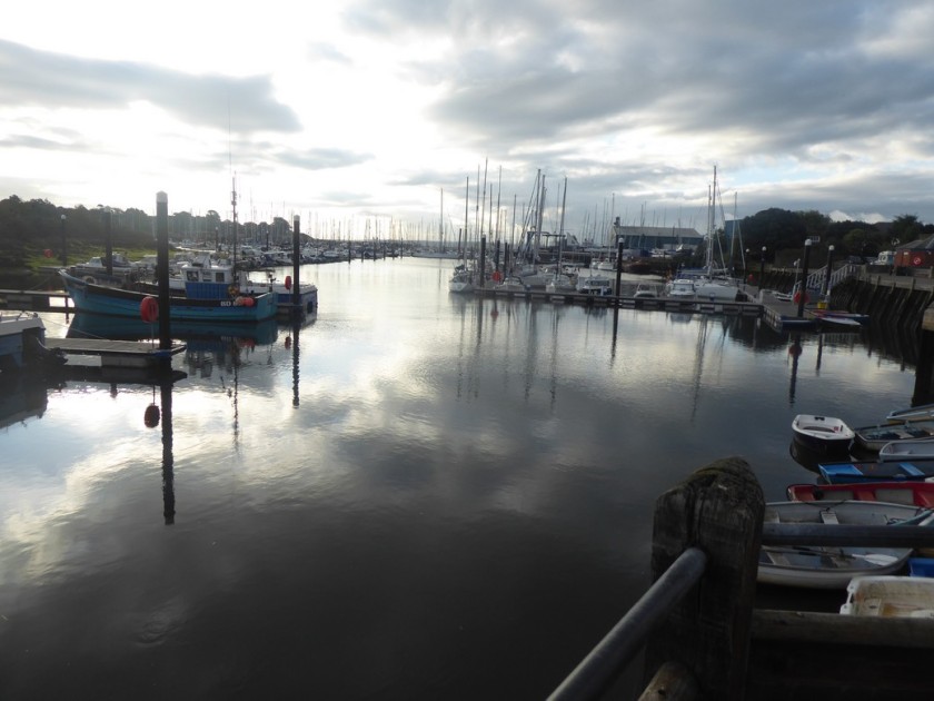
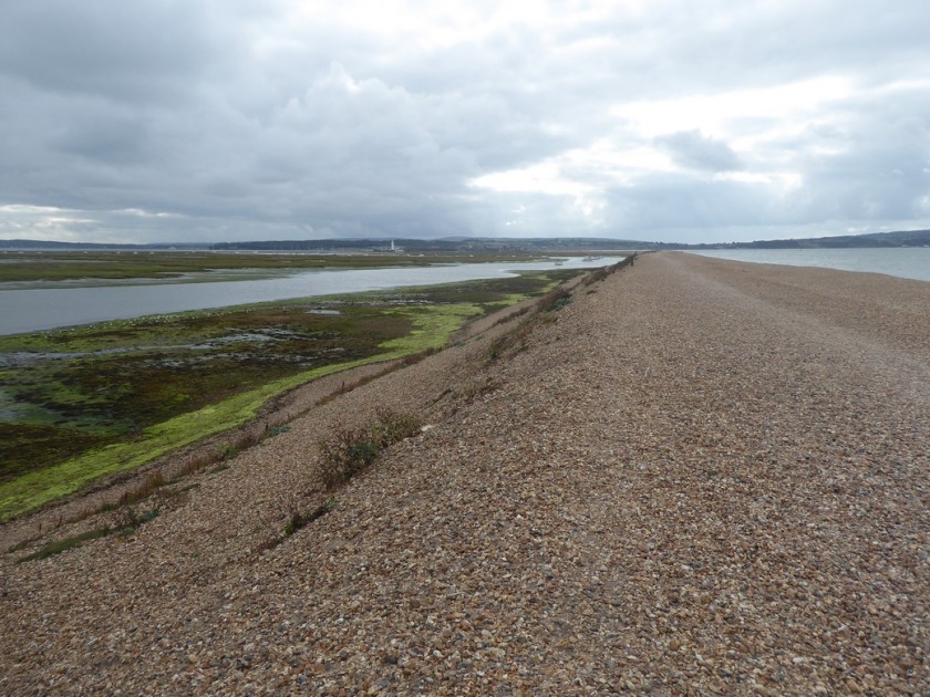
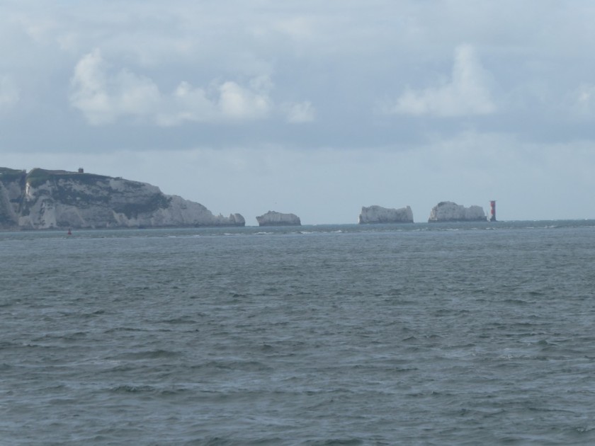
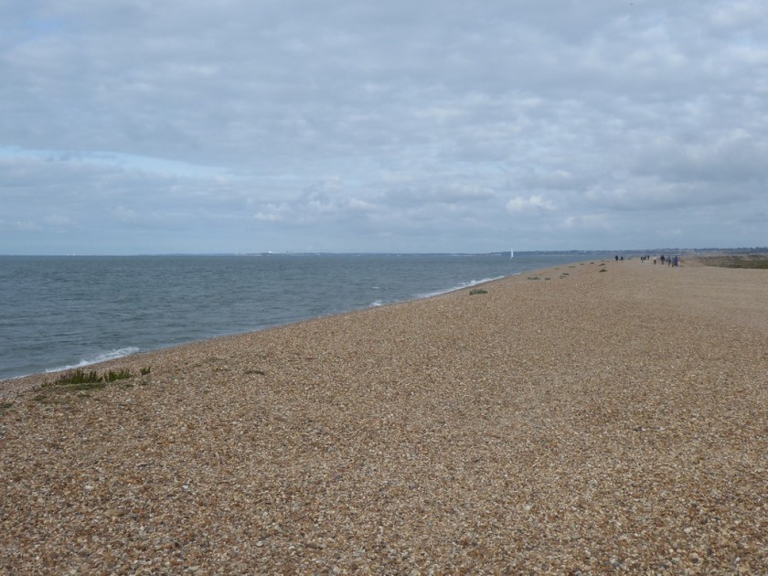
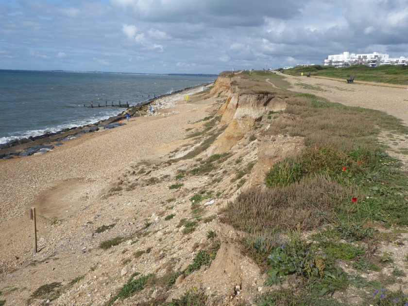
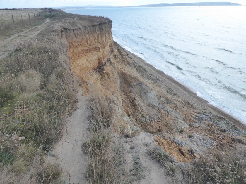
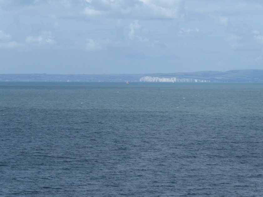
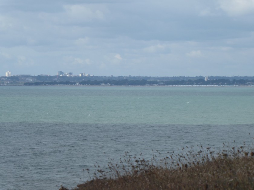
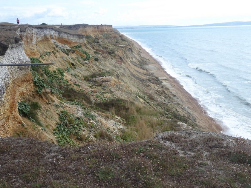
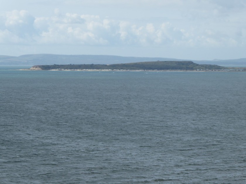
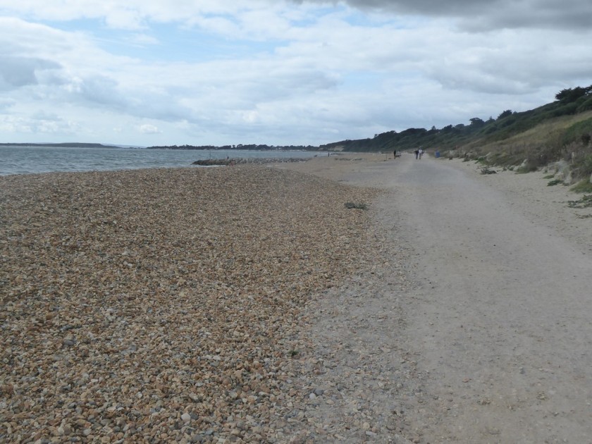
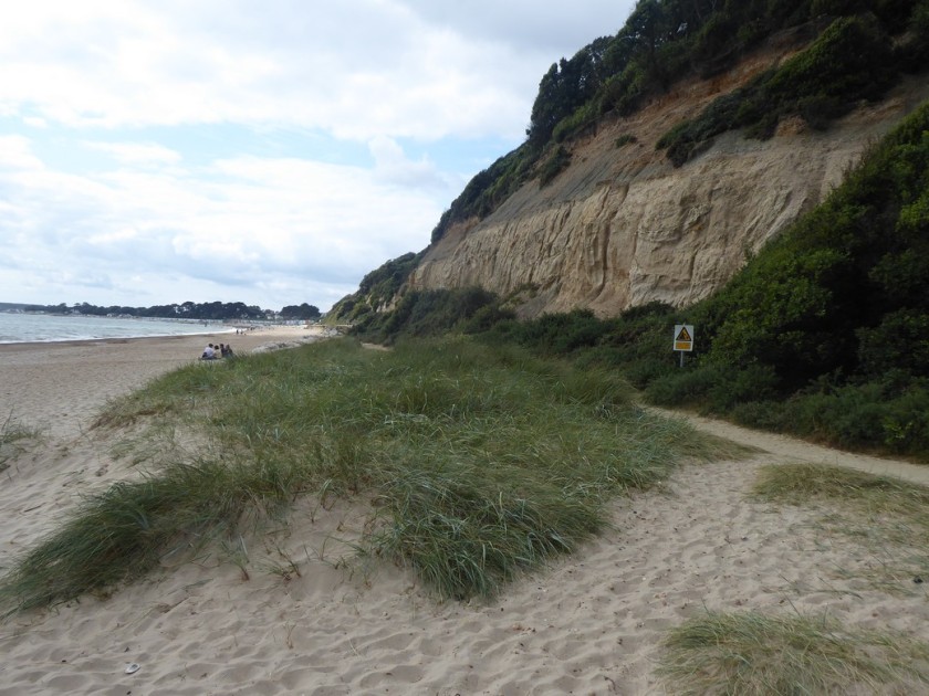
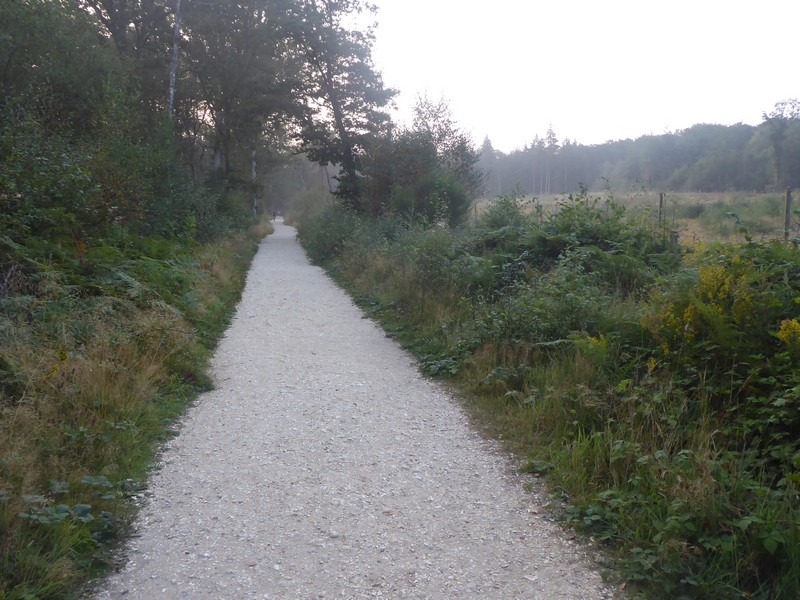
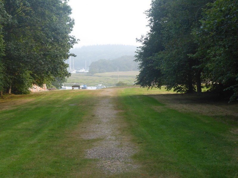
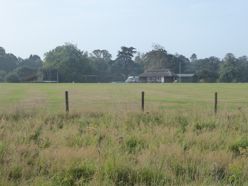
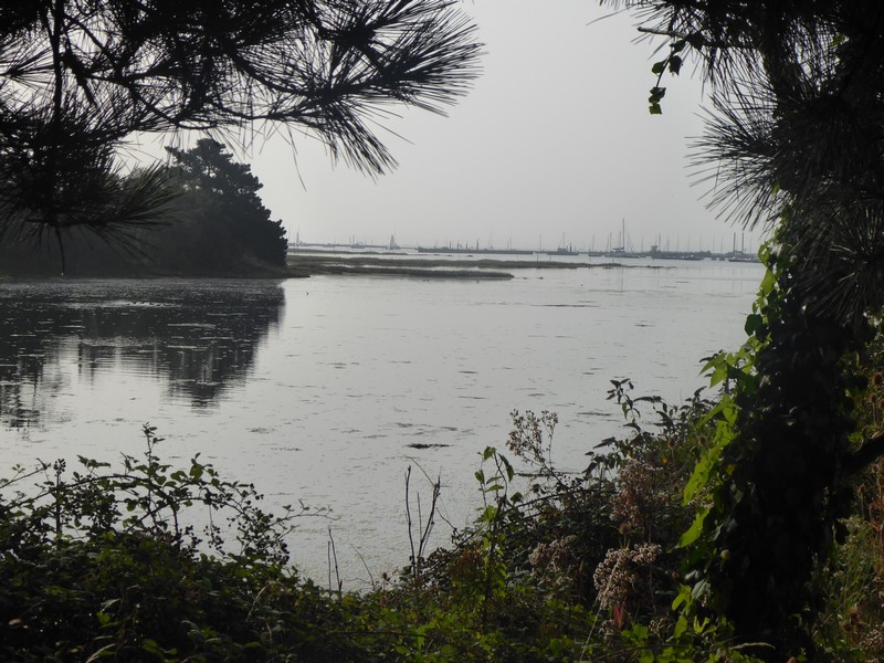
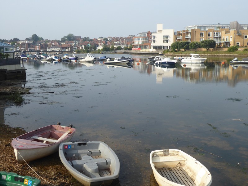
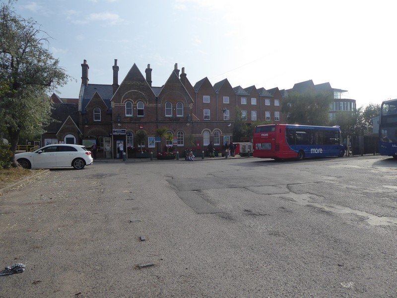
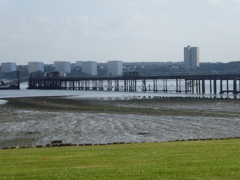
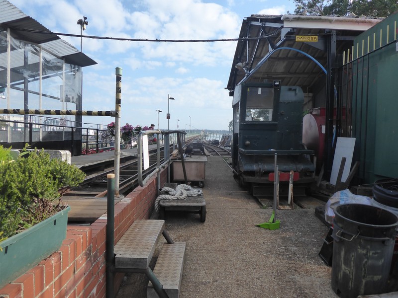
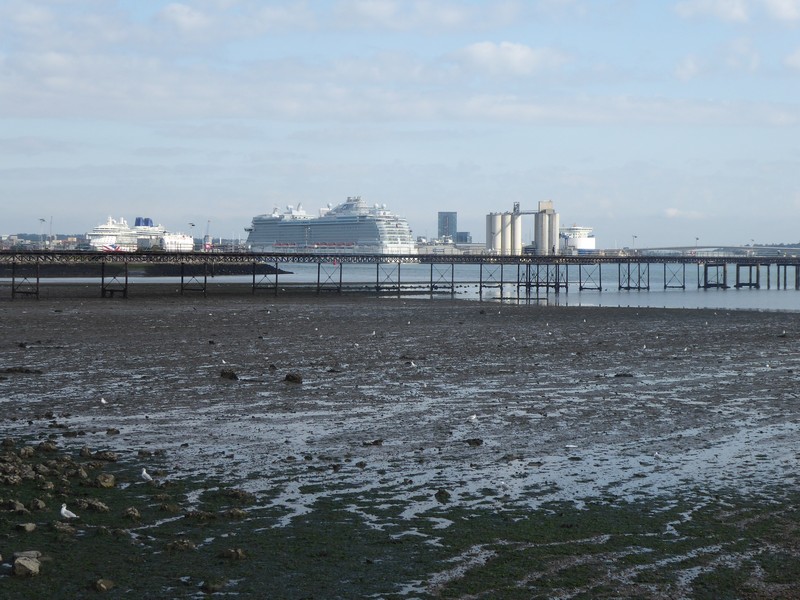
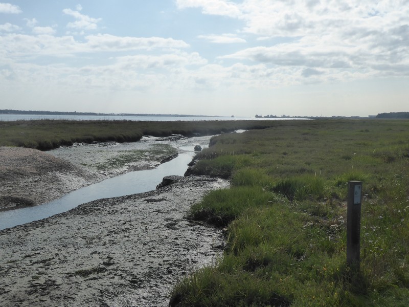
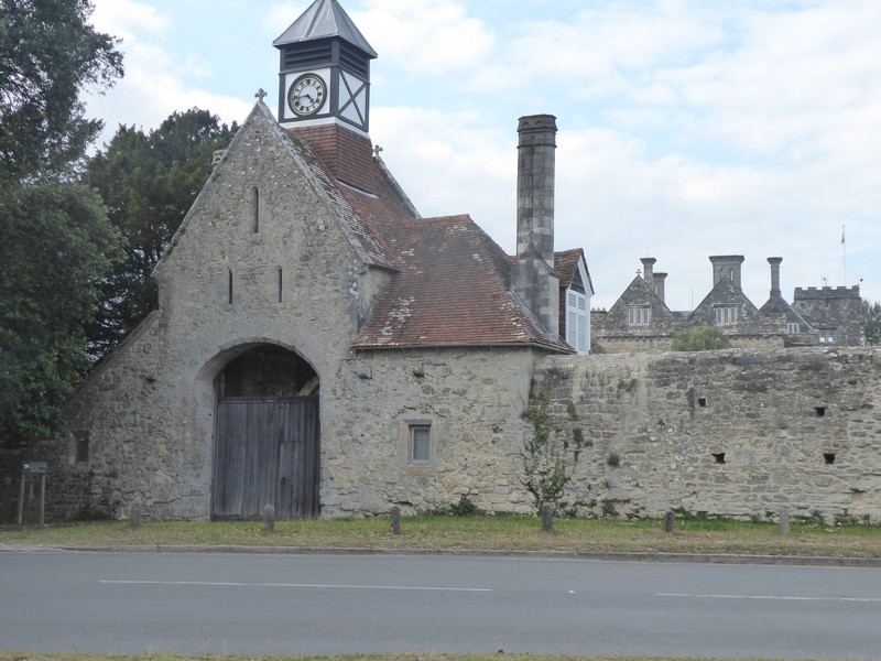
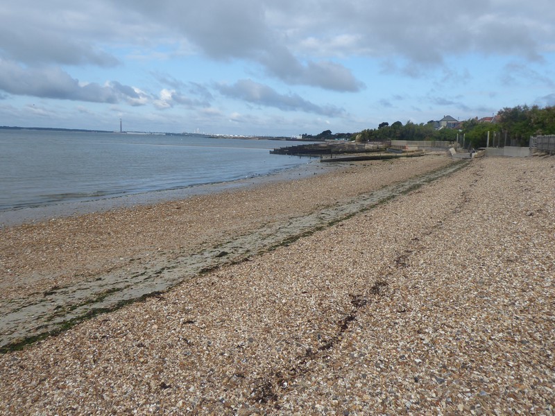
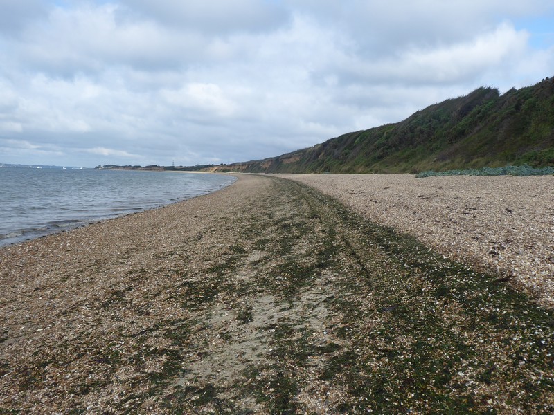
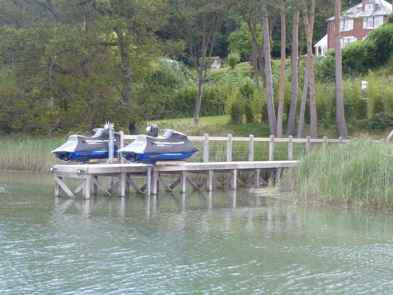
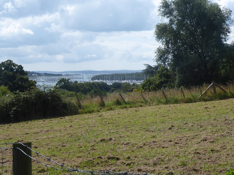
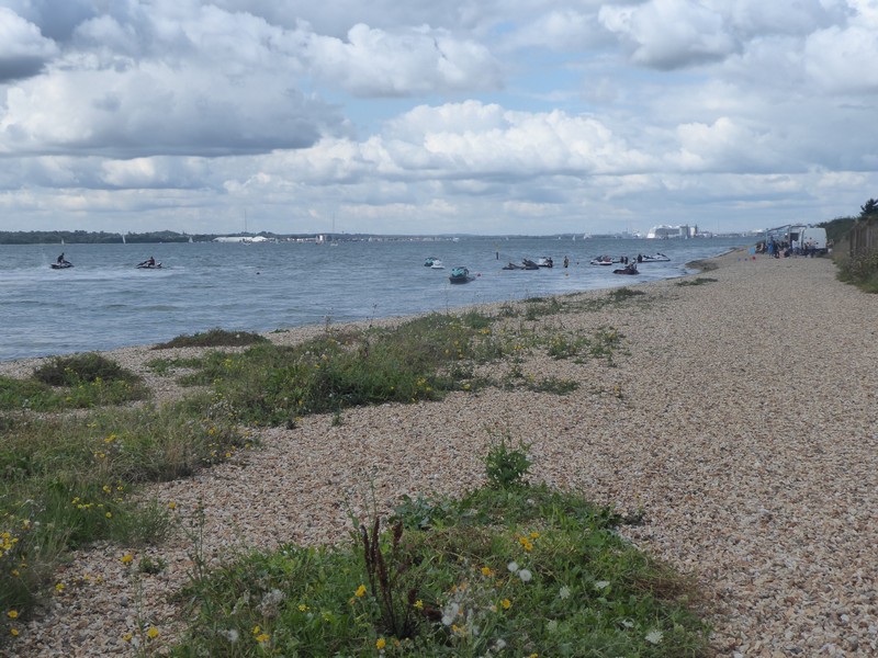
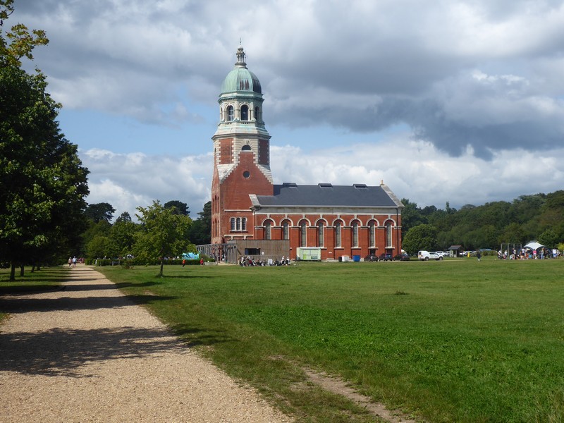
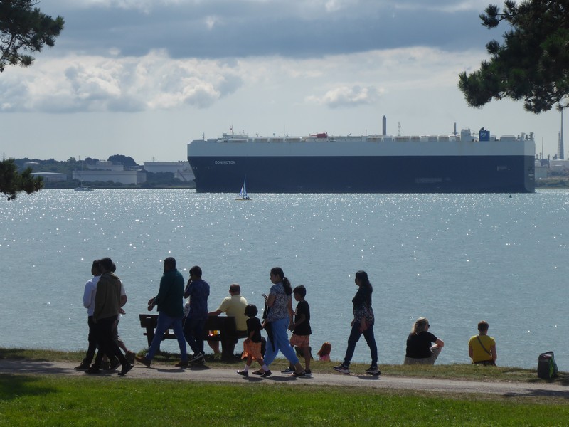
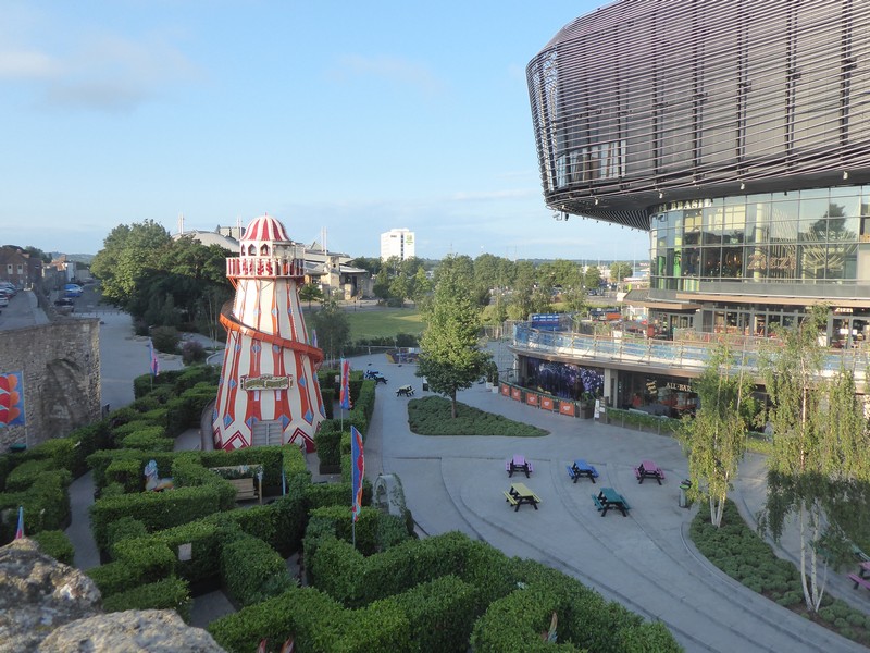
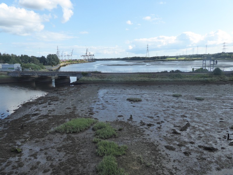
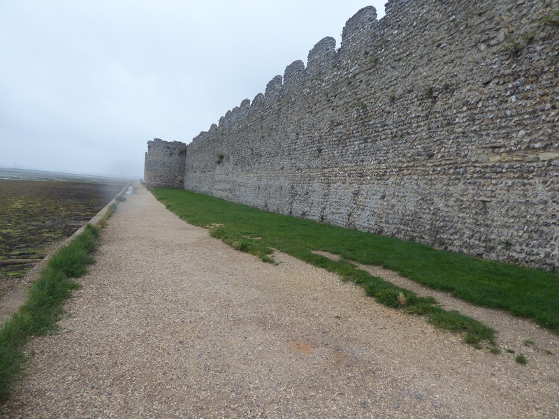
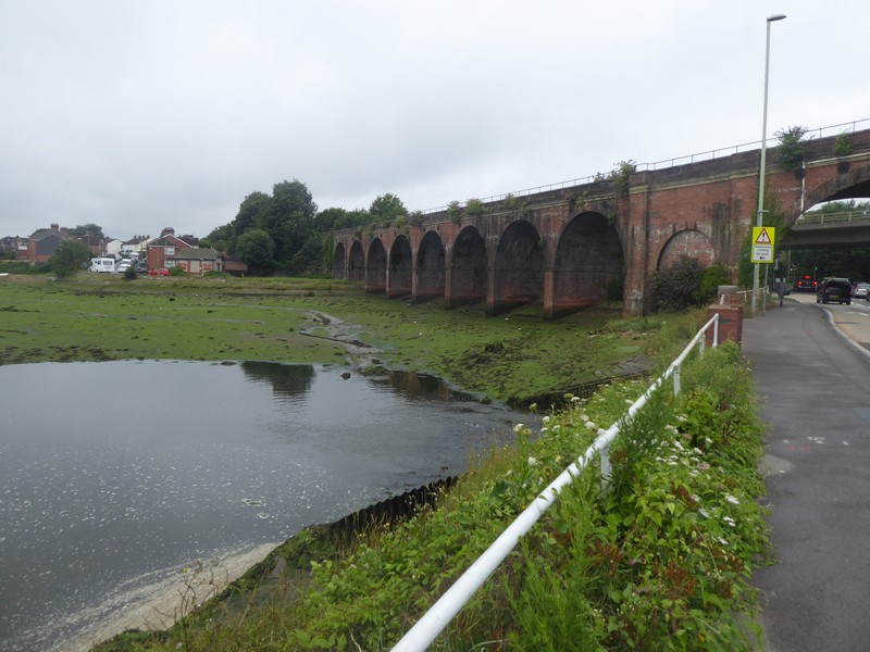
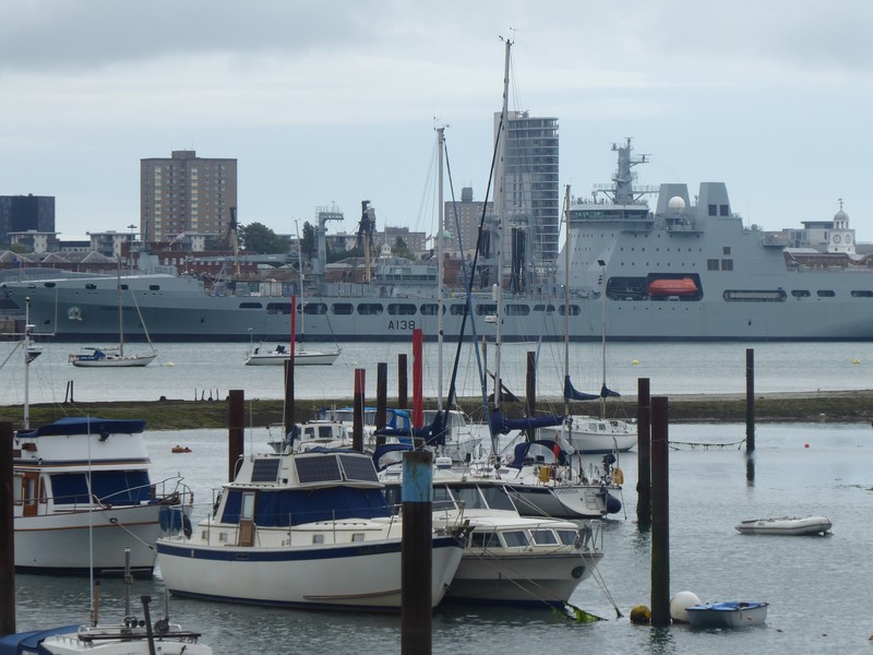
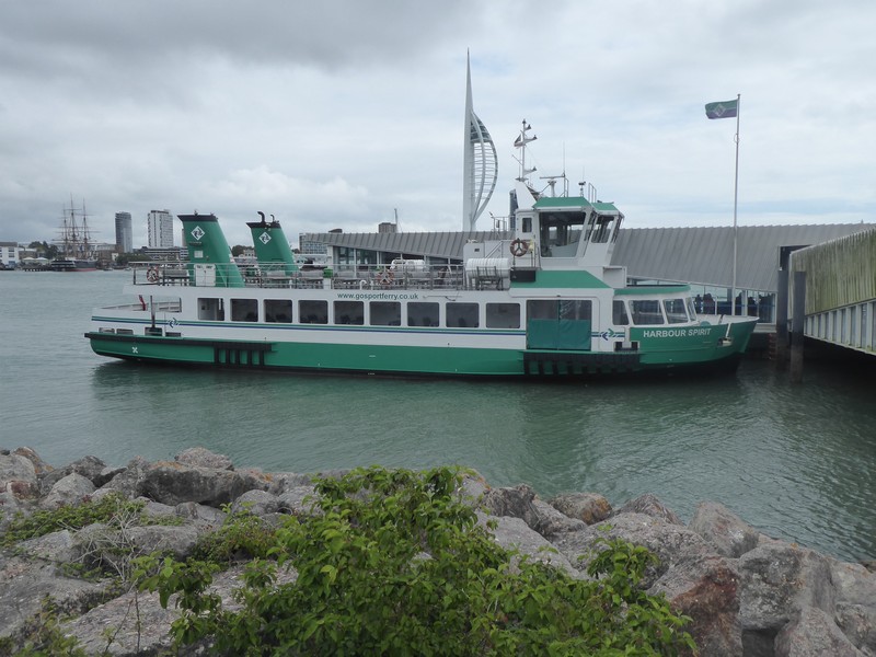
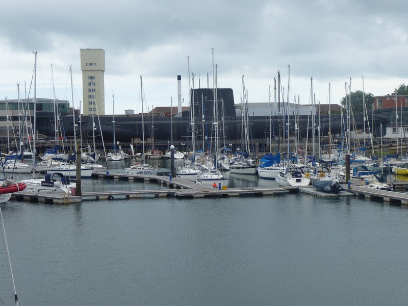
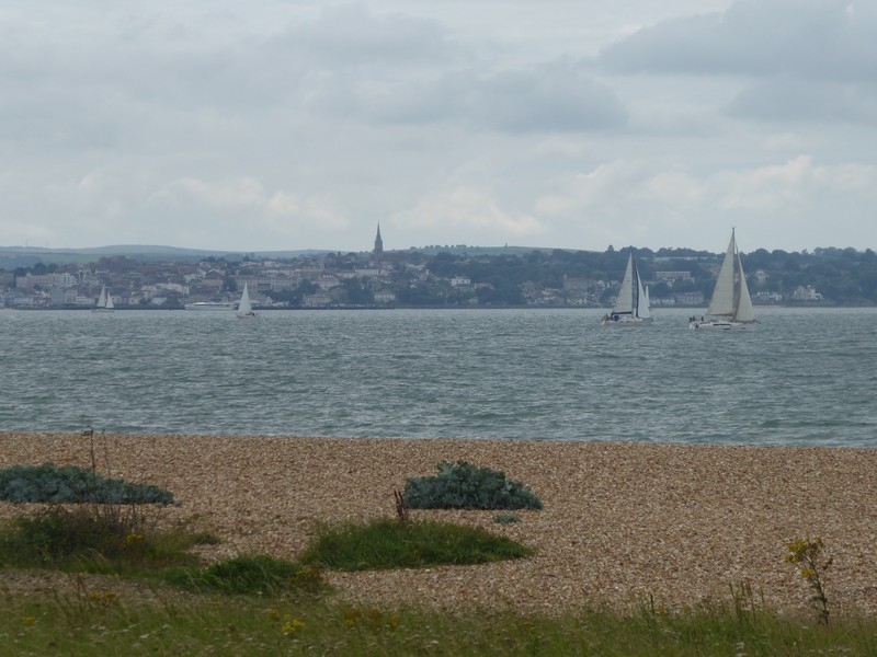
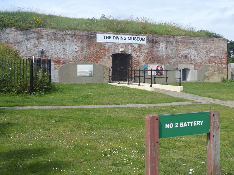
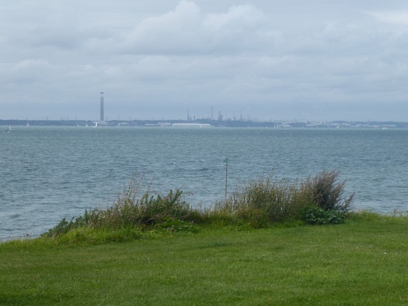
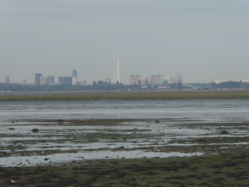
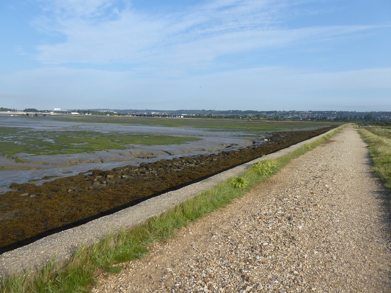
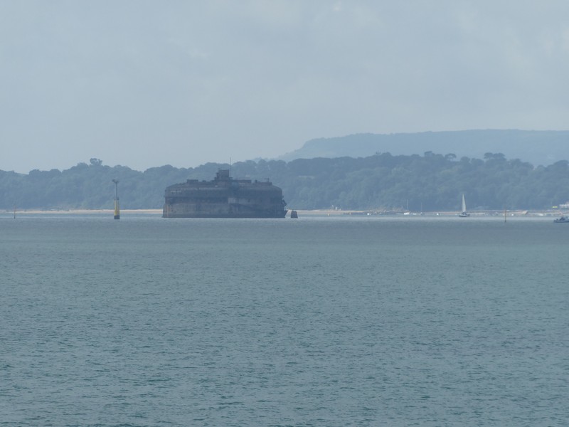
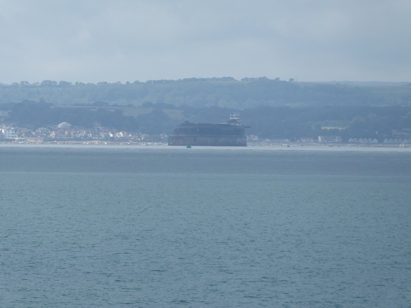
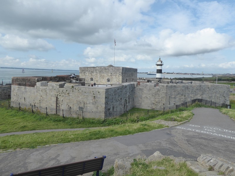
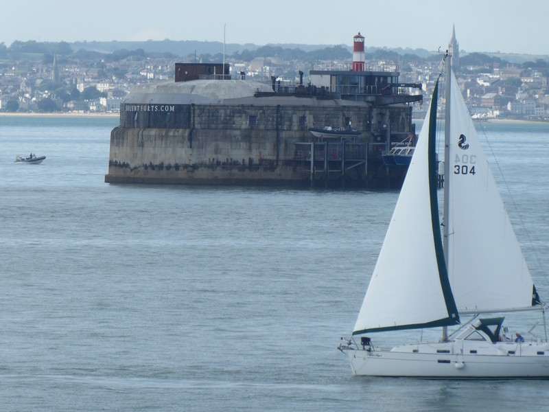
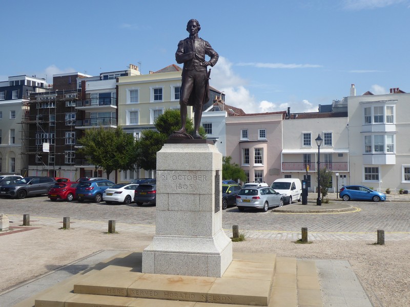
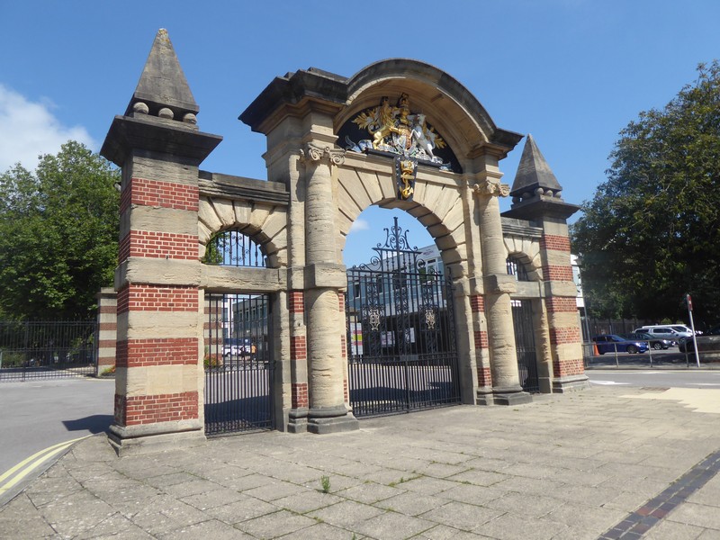
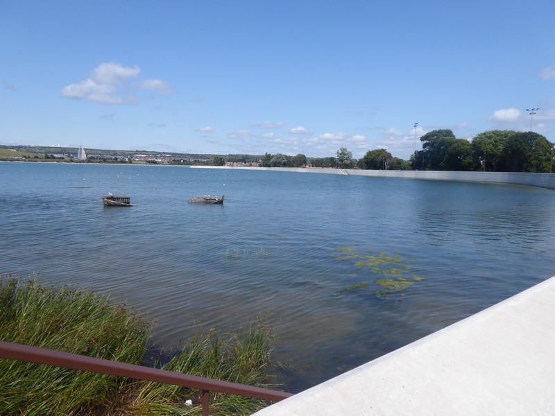
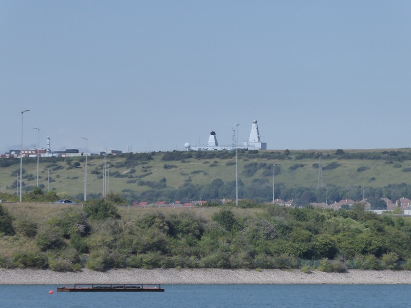
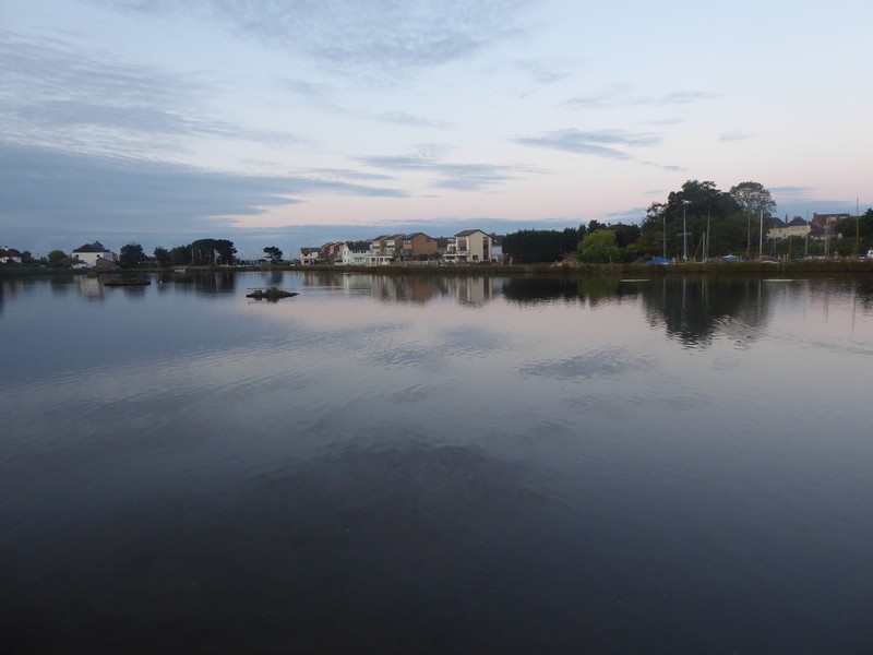
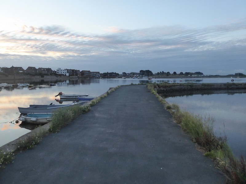
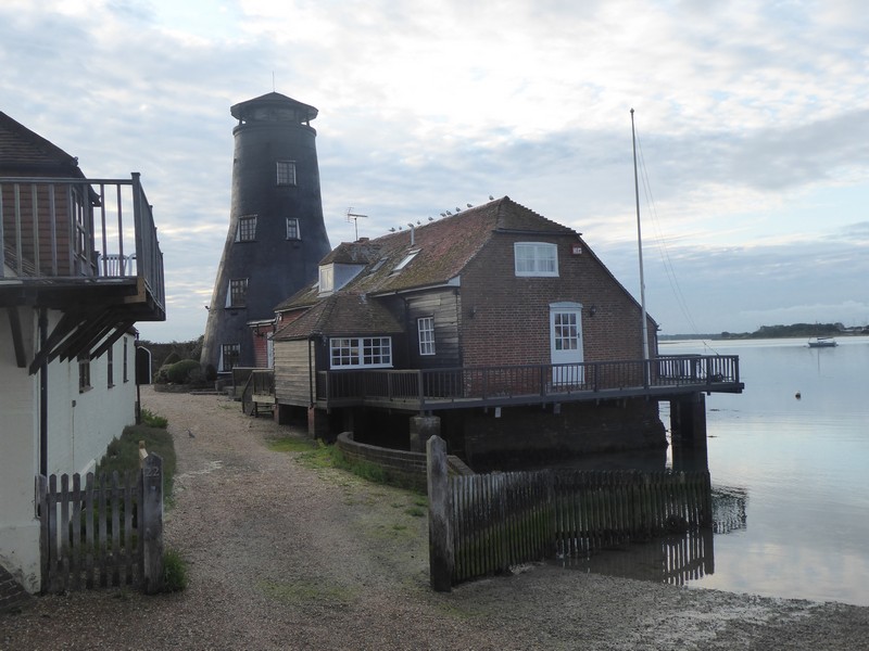
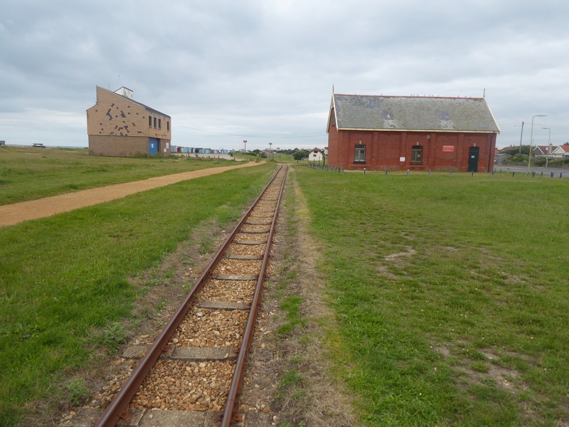
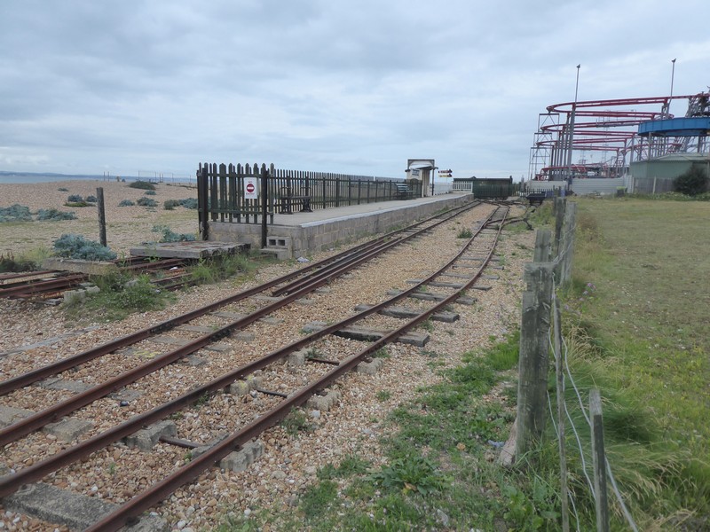
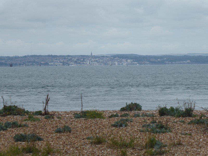
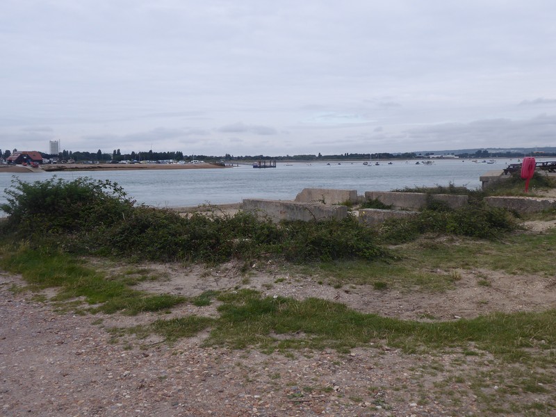
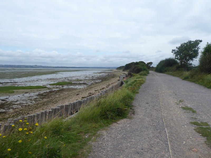
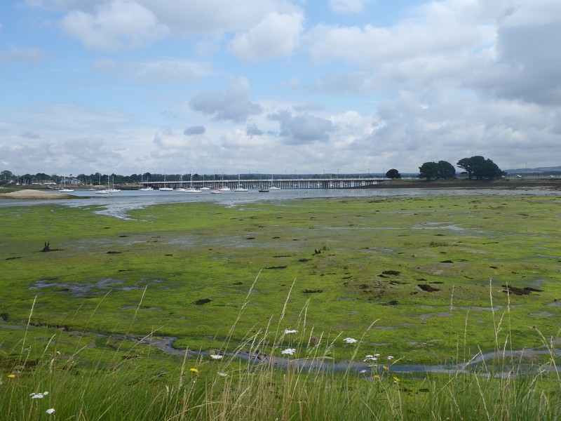
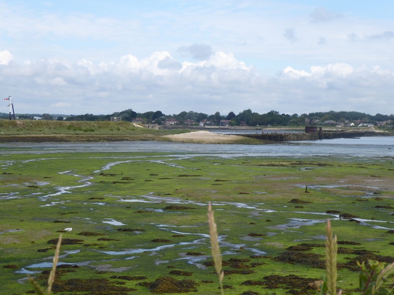
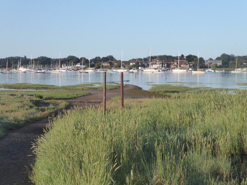
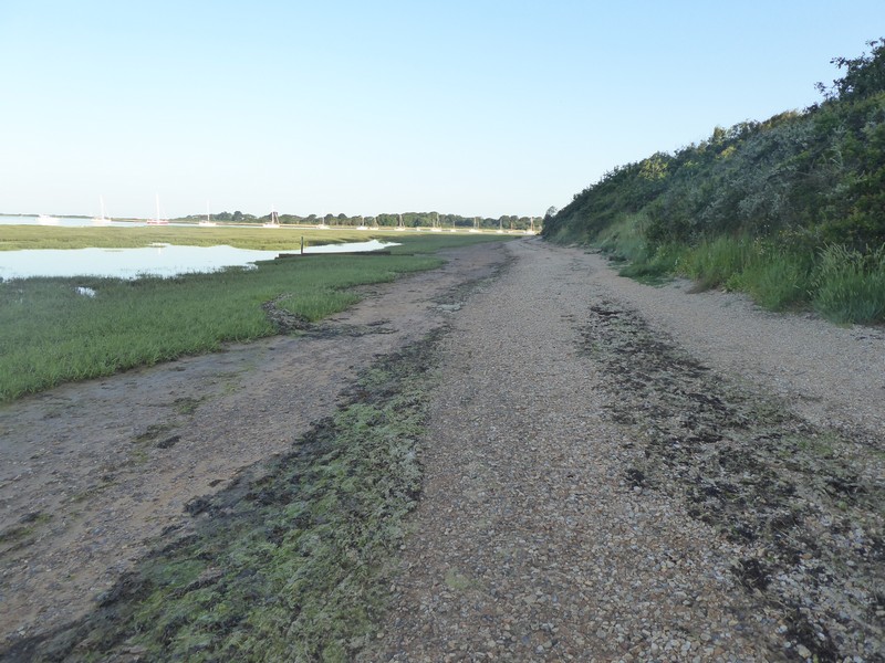
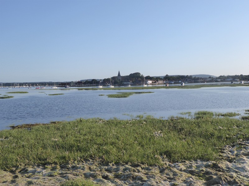
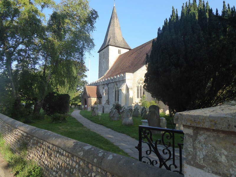
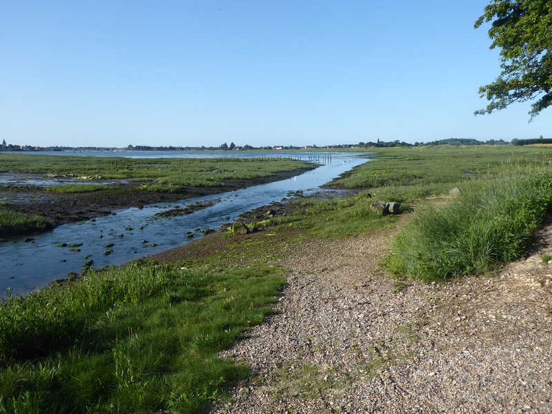
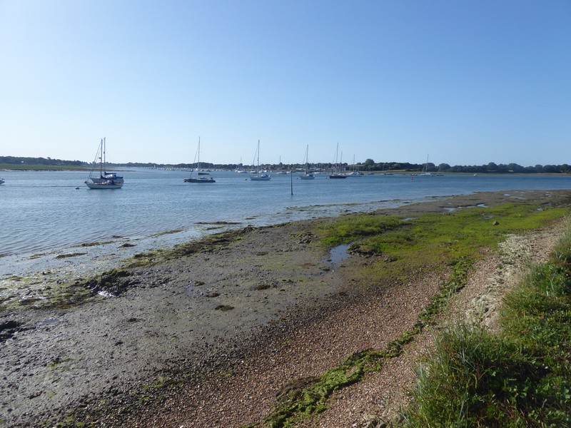
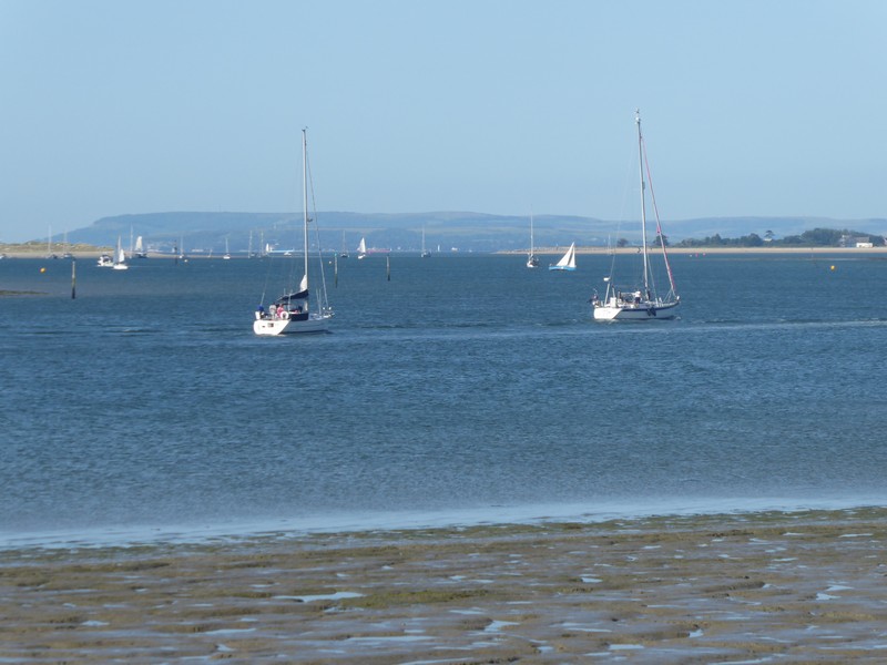
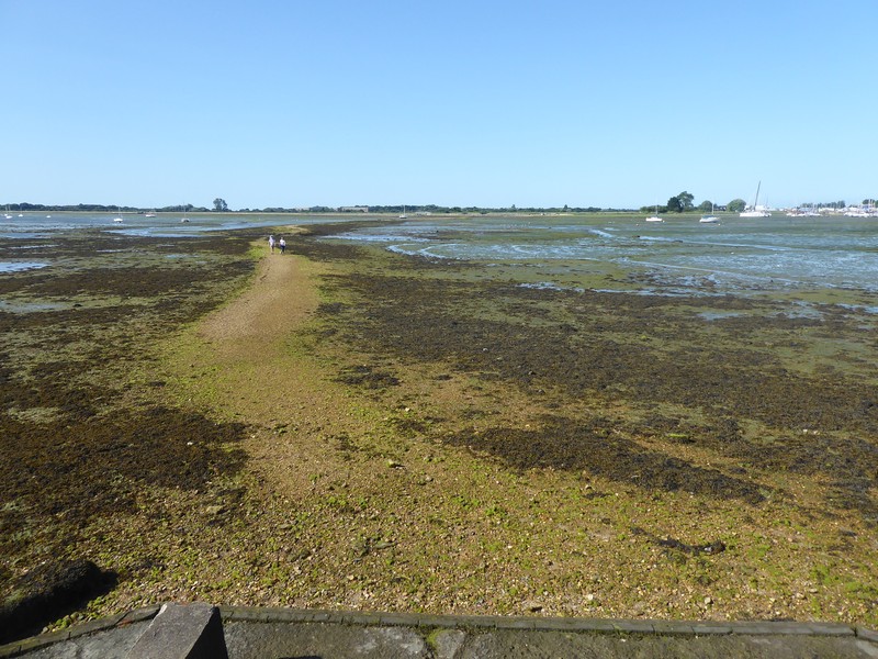
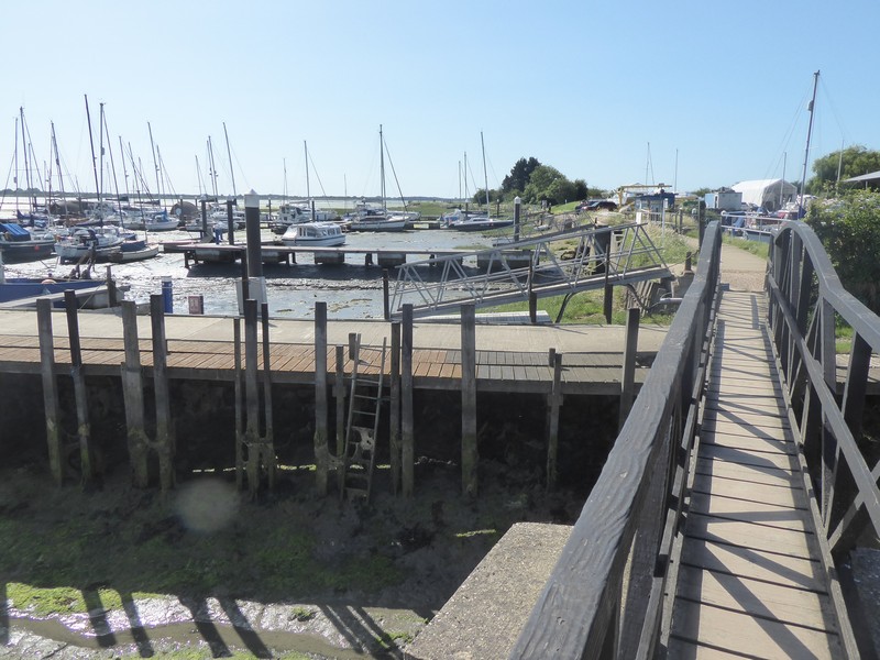
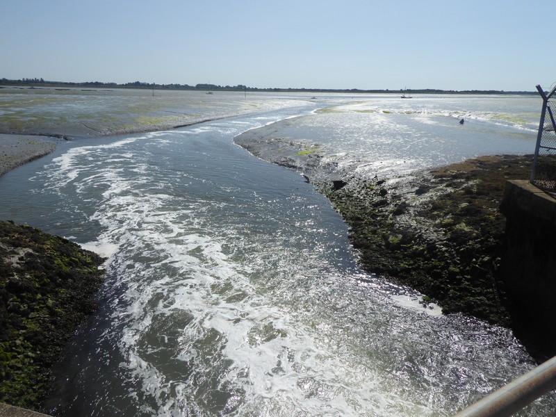
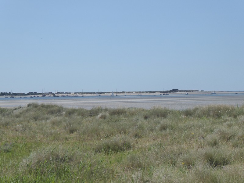
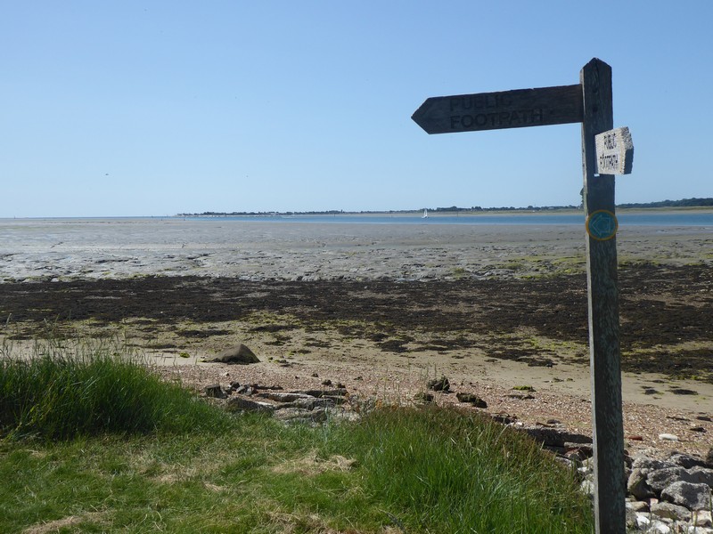
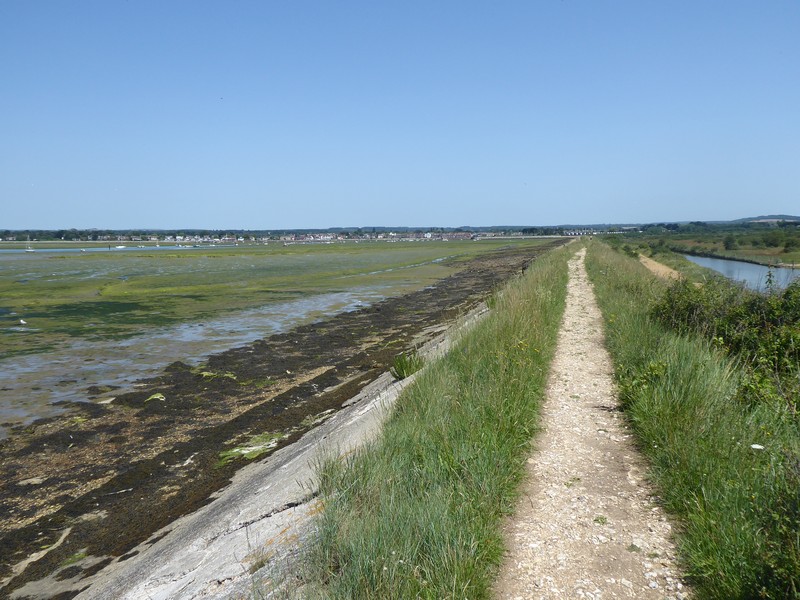
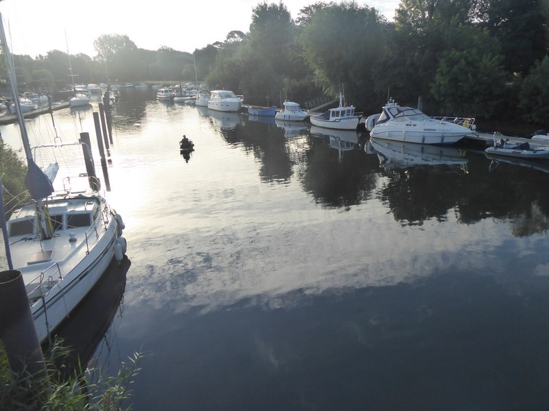
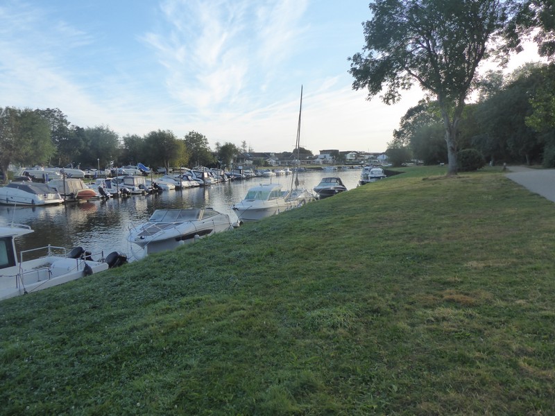
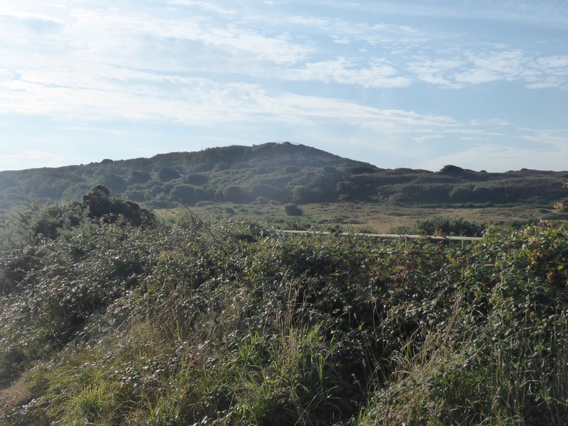
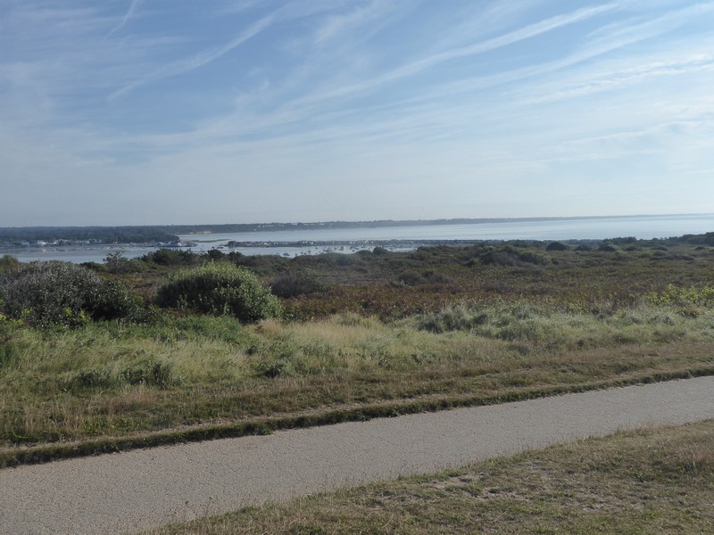
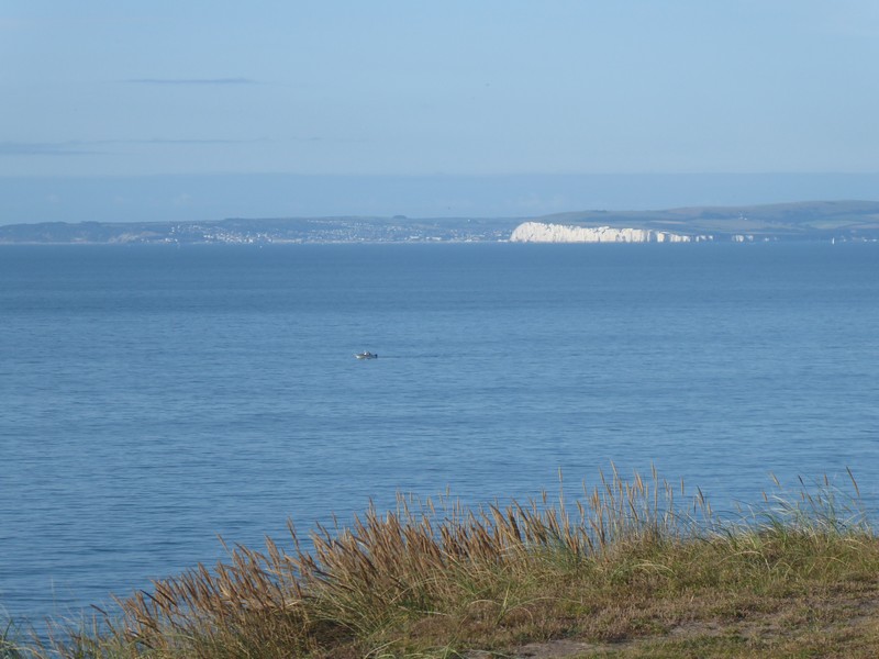
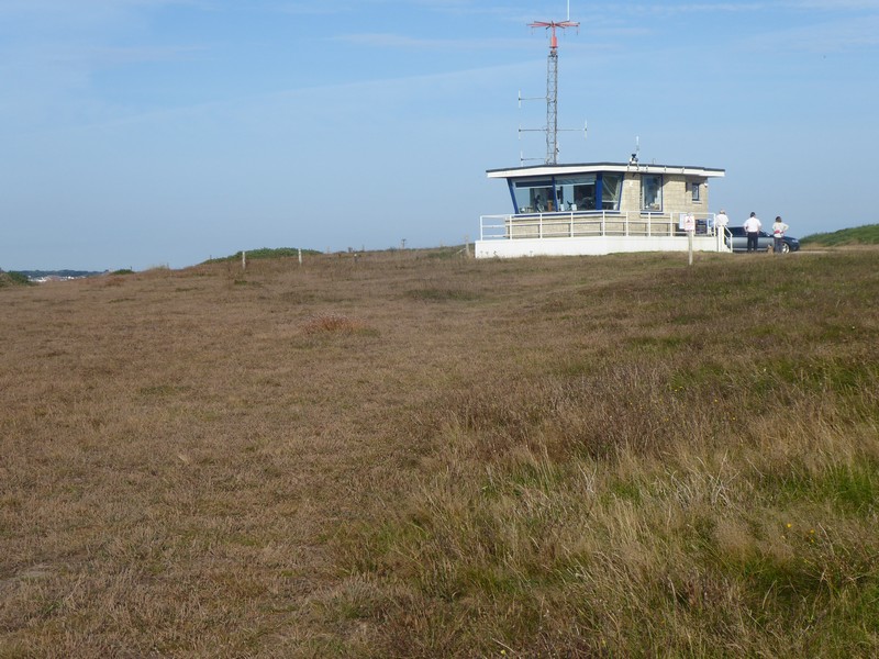
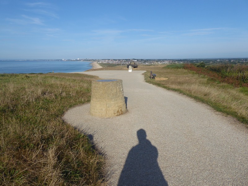
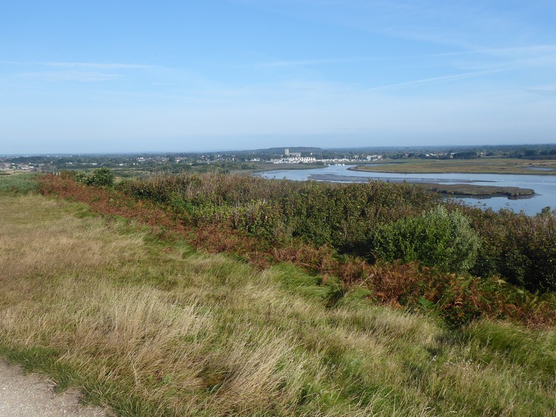
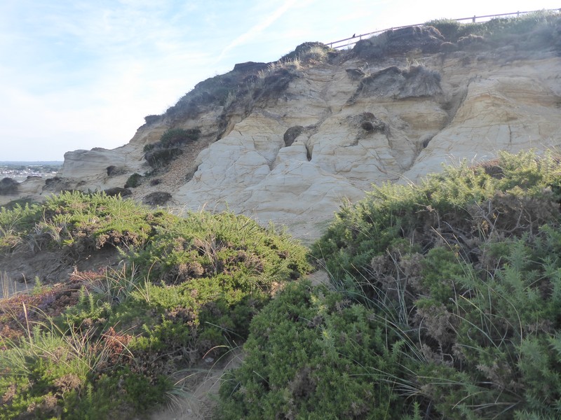
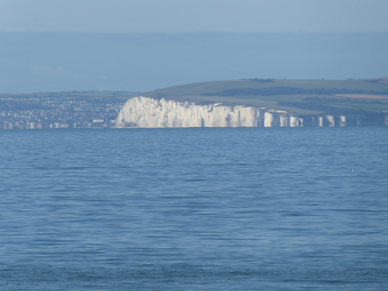
With the dawn just beginning to arrive I set off down the winding road into Milford -on-Sea and then on to the residential area of Sandbanks, where good street parking was available. After parking up I walked for about 100m to the bus stop and caught the 07:16 #50 bus to Bournemouth Station. Here I caught the 08:03 train to Christchurch. By 08:40 I was heading out from Christchurch Station along the B3059 towards Southbourne on the outskirts of Bournemouth. After crossing the River Stour, I followed its banks eastwards to where it emptied into Christchurch Harbour. I was heading towards Hengistbury Head on a thin sliver of land that enclosed Christchurch Harbour. At just 36m high  Warren Hill stands out from the surrounding terrain and after making a circular walk around the old pools, previously used for the extraction of Ironstone I head towards its top. From Warren Hill I have have superb viewpoint looking across to the Purbeck Hills above Swanage and along the long sweeping coastline of Poole Bay and Sandbanks where my walk will end.

Early morning crossing over The River Stour at Christchurch
Walking along the banks of The River Stour
Heading for Warren Hill on Hengistbury Head
Looking across Christchurch Harbour to Mudeford and yesterdays walk
Looking across Poole Bay to Swanage and The Foreland
The Coastwatch lookout tower on Warren Hill
The trig point and toposcope on Warren Hill
Looking across to Christchurch
The route ahead and end of my walk along Poole Bay
Sandstone outcrop on Warren Hill

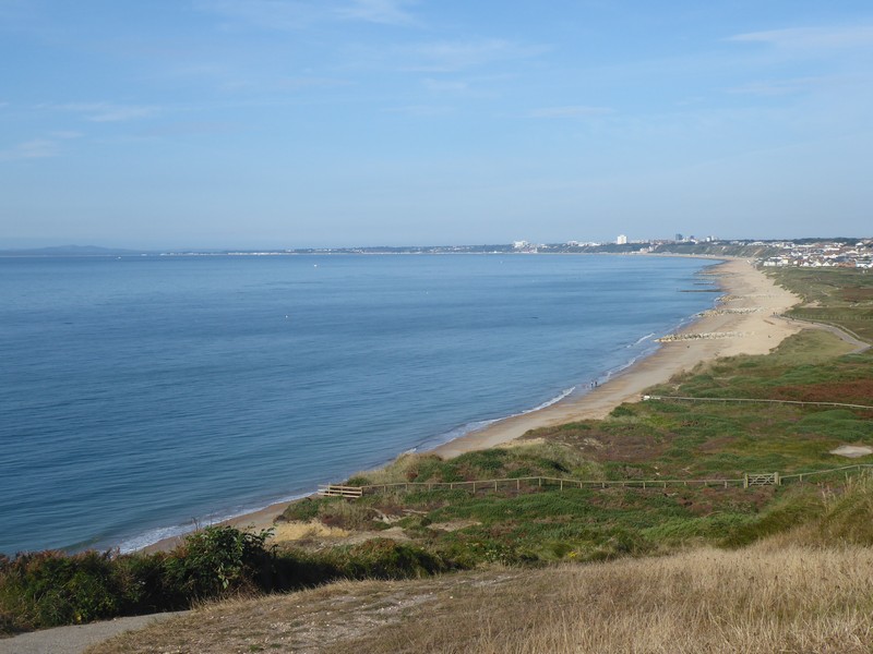
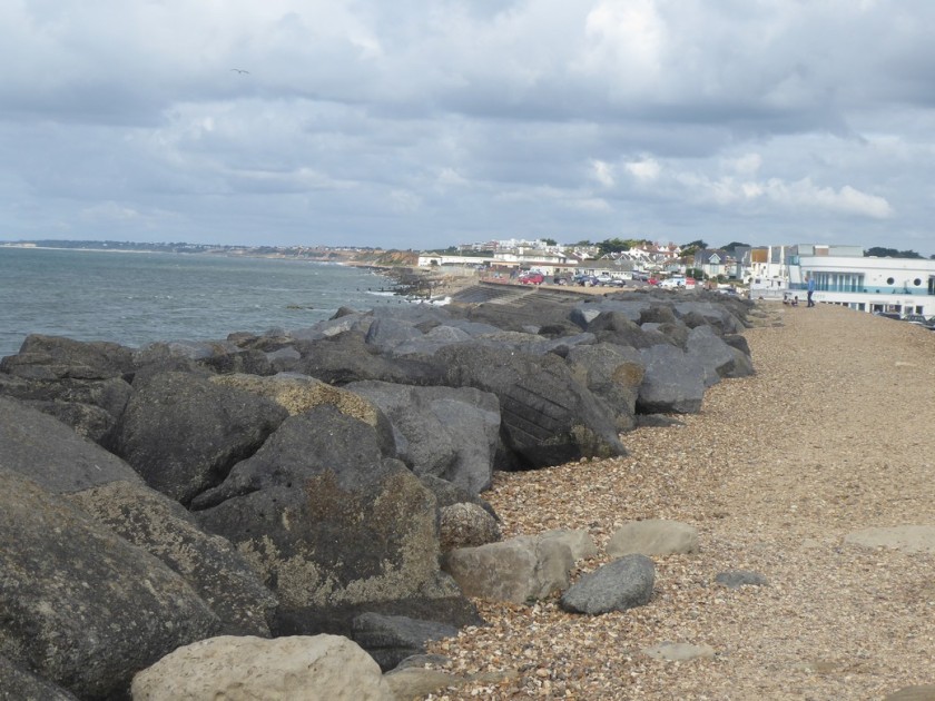
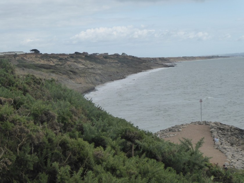
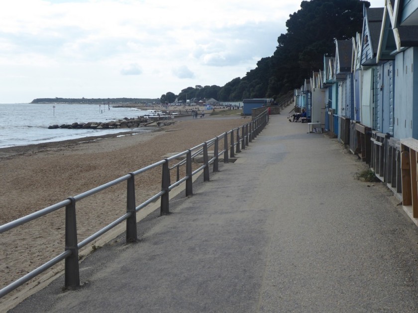
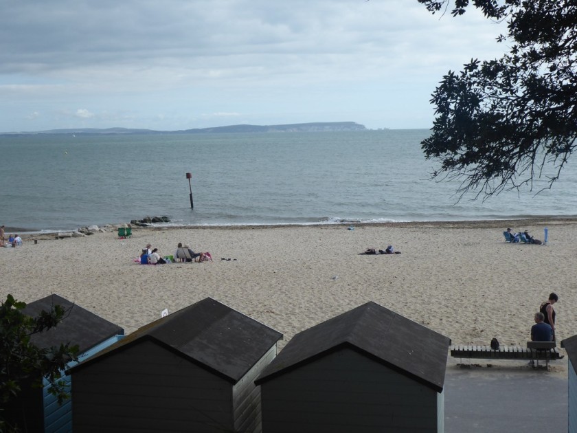
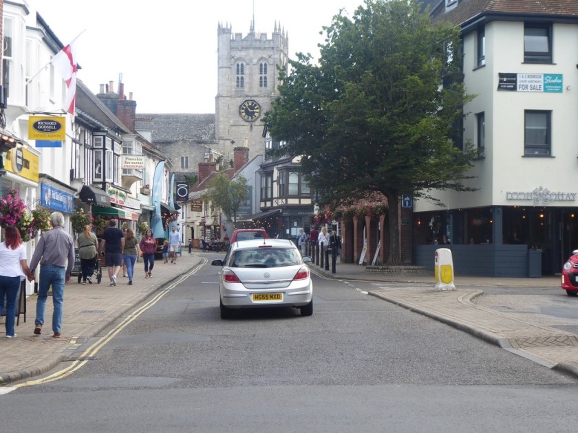
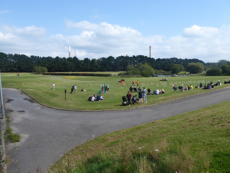
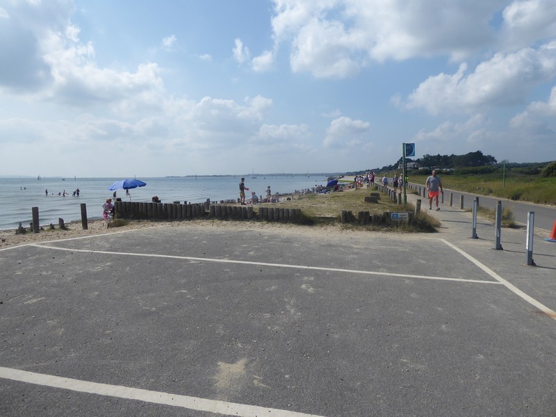
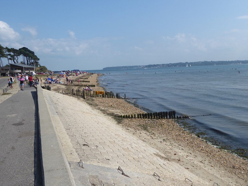
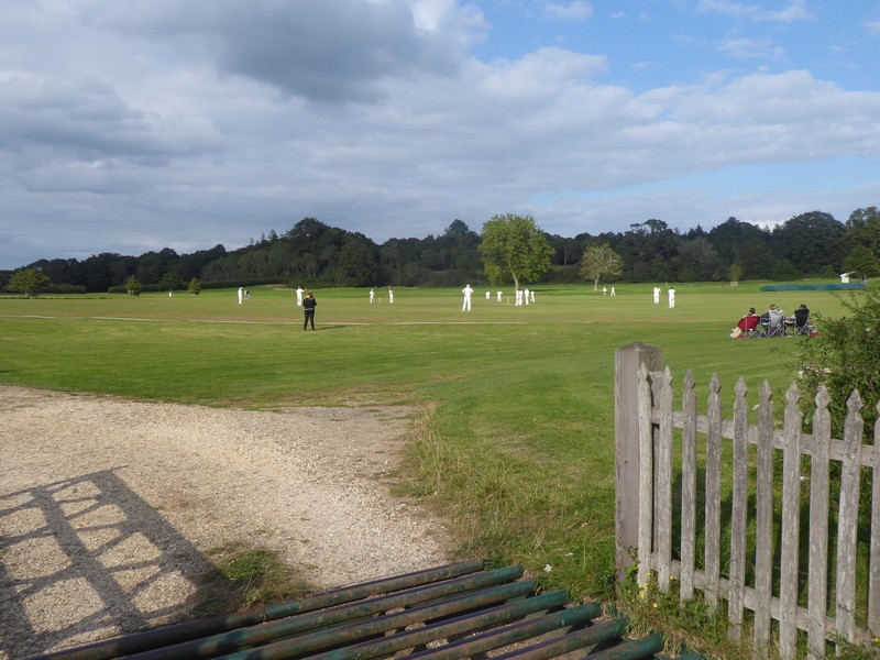
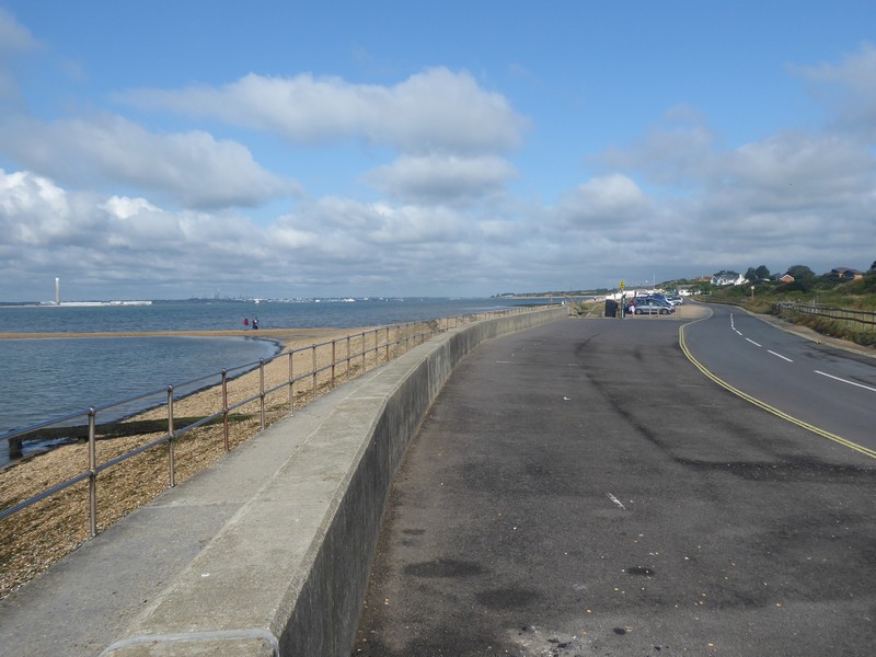
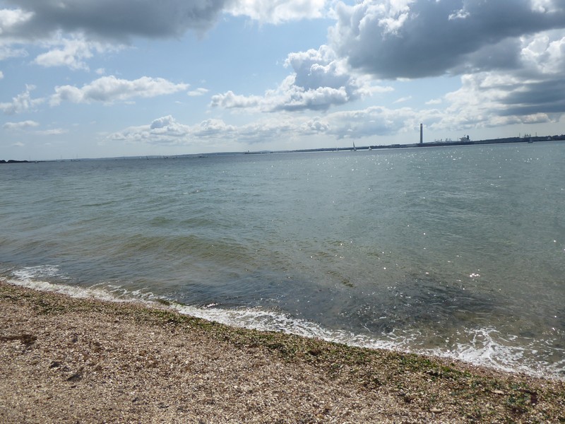
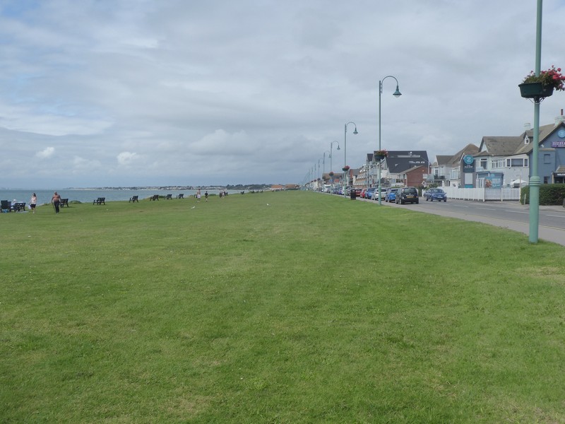
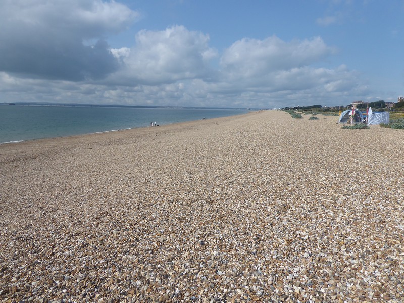
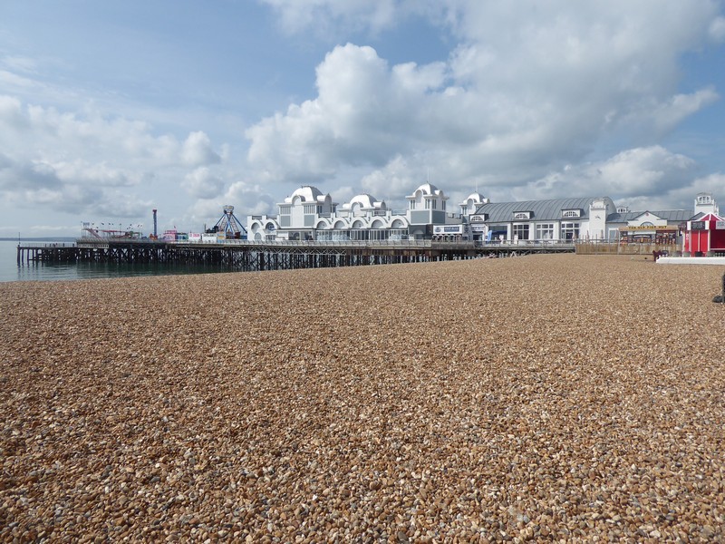
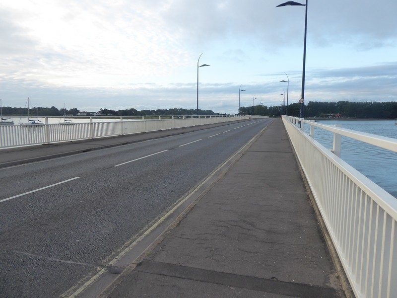
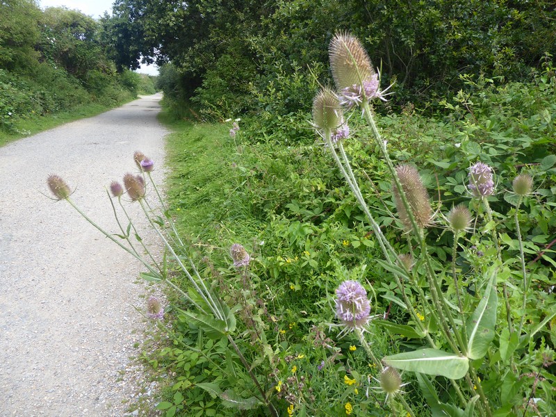
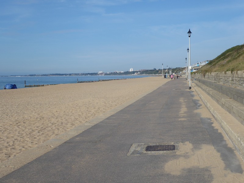
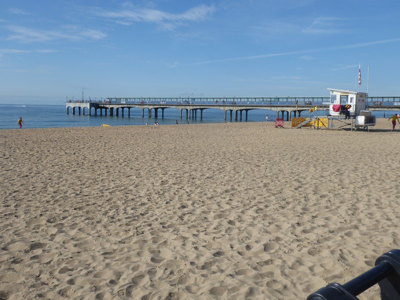
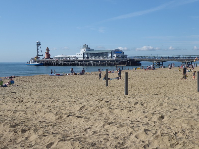
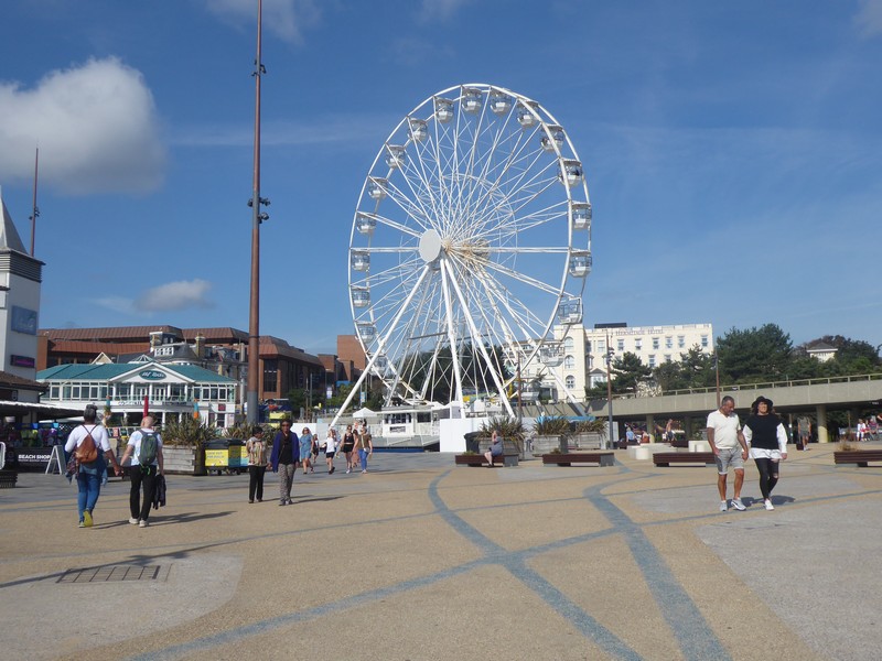
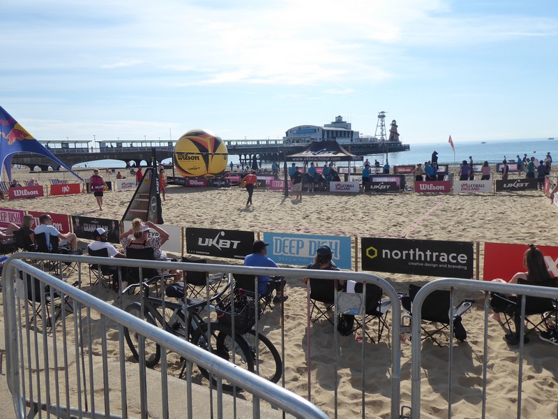
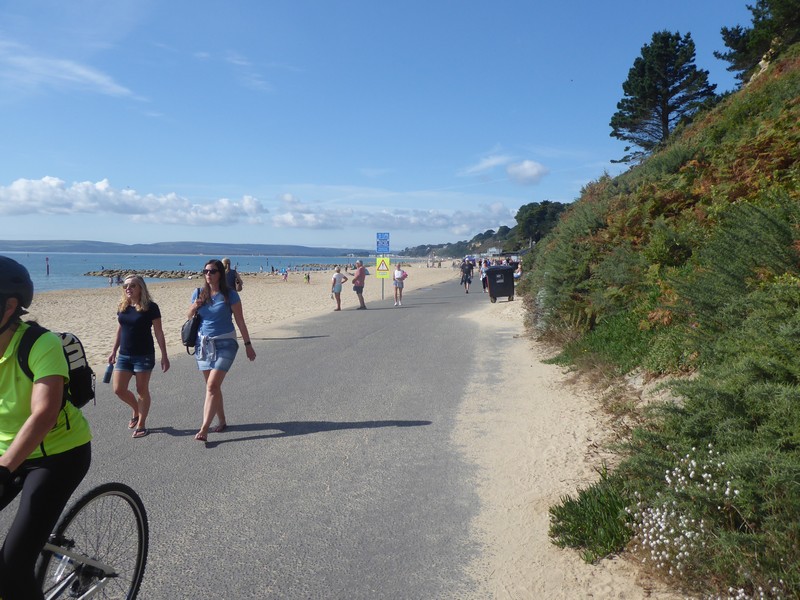
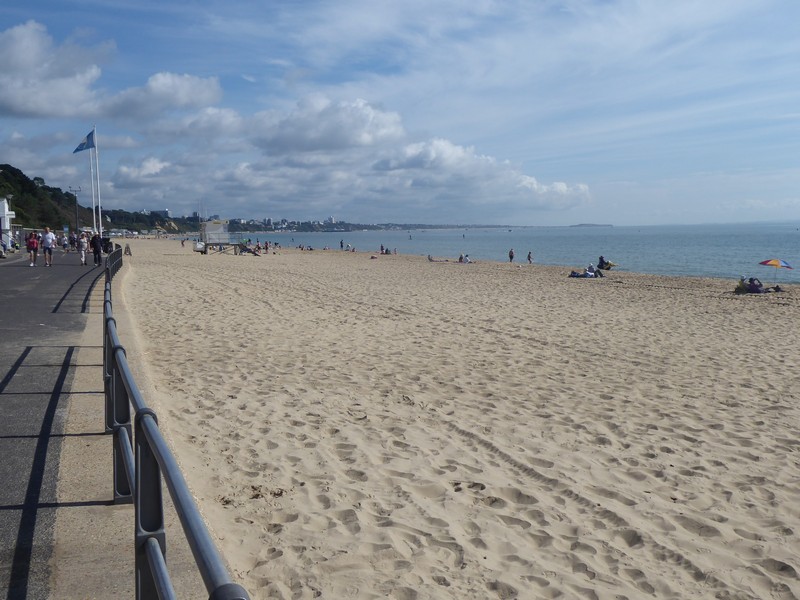
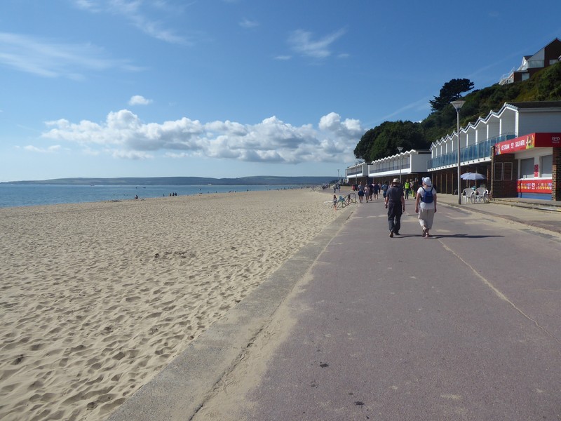
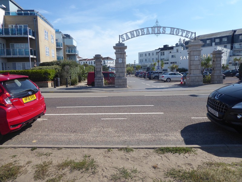
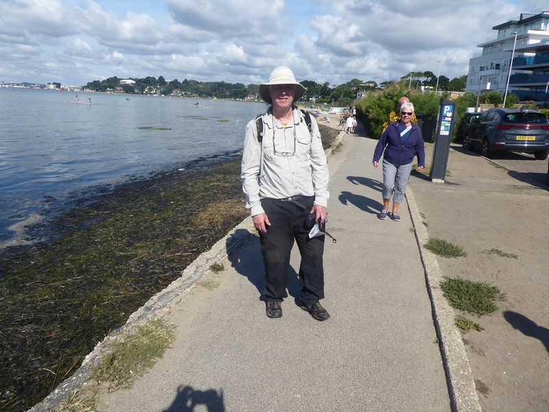
I drop down from Hengistbury Head and head towards the start of the promenade at Southbourne, which I will remain on until the finish. Its easy going and like many promenades up and down the country I have walke,  it makes for swift progress. I pass the first of two piers, the first being Boscombe, an unattractive concrete creation. Two kilometres on and I arrive Bournemouth Pier, more traditional and very busy. Loud music blares out from large speakers and a beach volleyball match is underway. This certainly seems to be the more popular part of Poole Bay. The end is in sight now and at 12:45 on 12th September 2021 I walk through the Sandbanks Hotel car park and cross over the B3369 to complete my walk around the coastline of Great Britain! I ask an elderly gentleman to take my photograph. No fanfare, just a slightly underwhelming feeling, but an inward warm satisfying feeling that I had linked up all those tiny footprints to complete a walk of 6678 miles. As in previous challenges like completing a National Trail, climbing all the Munro’s and Corbett’s, the moment for me is never euphoric, just fulfilling. I did contact Radio Shropshire last week to announce I would be completing the walk this weekend, but they never got back to me.

On the promenade at Southborne with Bournemouth in the distance
The impressive Chalk cliffs of The Foreland and Old Harrys Rocks with Swanage visible
Quiet sandy beaches at Southborne
One of the three cliff railways I observed
Boscombe Pier…hmmmmmm?
I think this cliff railway is no longer in use
Bournemouth Pier
Ferris wheel in Bournemouth
Beach volleyball match underway
Entering Poole
Heading westwards towards Sandbanks
Looking back eastwards with Hengistbury Head in the far distance
The last 300m!!
And so it here it ends!!
Me

So I have a couple of thoughts that I would like to share:

  • A big thanks to all those people, particularly my wife who have supported me in this endeavour. To all those “Coasters” who are in the process of walking the coast including Ruth Livingstone, Tony Urwin, Jon Combe, Helpful Mammal, Paul Hills and James Wearmouth – thanks for your advice and good luck and a safe completion. To my friends on Scottish Hills, where I posted all of my Scottish Trip reports.
  • A popular and common question is “What is your favourite part of the Coast”. To which I answer that I don’t have a favourite coastal walk, because, besides the scenery there are so many other factors like mind set, health, injury, weather, company, bad incidents (like some idiot drivers) which all affect how I feel. I also do not mind walking through industrial areas. There were a few standout experiences which I did enjoy namely walking across Morecambe Bay with the tide out, walking around Cape Wrath, walking through 16 miles through residential streets from Woolwich to Gravesend and my final walk in Scotland.
  • Another question is “what are planning on doing next?”. Well there are about 6 reports along the Pembrokeshire Coastal Path which I have yet to write up. When I did this section many years ago, I had a pretty poor digital camera, So I may do these sections again. I am also keen to complete the Hadrian’s Wall National Trail.
  • I will probably make a few further posts on this blog to update the position on the Bowls and Platters which I am still preparing and finishing. A number have already been sold. So more of that in the future.

Meanwhile a final thanks to all my subscribers.

regards

Alan Palin


Distance today = 12.5 miles
Total distance = 6,678 miles


359. Lymington to Christchurch

My final trip on my coastal walk. Yes the time had come to complete the final two days of walking; that would see me arrive at an hotel car park at Sandbanks, bringing an end to one of the most prolonged and rewarding challenges of my life. But before I could complete the final days walk, there was the little matter of walking the 20 miles between Lymington and Christchurch.

I left Shropshire very early and drove down to Christchurch Railway Station, here I parked in the station car park for £2, not bad for the whole day in this neck of the woods. I caught the 07:13 train to Brockenhurst where I changed for the train to Lymington, the final leg only took 6 minutes!

So on a lovely late summers day I set off on my penultimate coastal walk along the quay road and out of Lymington towards the shore of the Solent. I joined up with earthen sea banks containing lagoons as well as keeping out the sea. Walking around Oxey Marsh via a mixture of quiet lanes and footpaths, I could see the Solent had become much wider now and I had excellent views across to that iconic natural feature at the tip of the Isle of Wight – The Needles. I made my way across Keyhaven marshes and into the village of Keyhaven.

Early morning at the marina in Lymington
A Greenshank on Oxey Marsh
Heading westwards from Oxey Marsh
Zoomed shot across to Hurst Castle with West High Down on the IOW in the distance
Approaching Keyhaven

My eye was now drawn across a salty marsh to the lighthouse and large fort of Hurst Castle, situated on a shingle pit of land jutting out into the middle of The Solent. I remember crossing over to Yarmouth from Lymington some years ago and was intrigued to see buildings appearing to float on the water as I crossed over to the IOW. Unfortunately, this was going to have to be an ‘out-and-back’, which I deliberated before taking on. However, I had calculated today’s mileage and the additional 3 miles would not be an issue. I set of on the predominantly compacted shingle bar towards Hurst Castle. As I neared the castle, I could see a small ferry boat arriving from Keyhaven with a small group of passengers who entered the castle. My attention turned to a notice which informed me that the sea had damaged the foundations of the castle on the seaward side and consequently the beach access around the castle was fenced off. This meant I could not walk around the perimeter of the Castle. After examining one of the huge bricked up gun portals I turned about and set off westwards back along the shingle bar. Built between 1541 -44 by Henry VIII the castle had been used during most armed conflicts up to 1945, to guard the approaches to The Solent. Like most of the ancient monuments I have encountered on this walk, I rarely go inside. This is down to the fact that I am on a long walk and that means conserving my legs. However, I have noted a number of places I would like to return to explore further and Hurst Castle will be one of them.

Approaching the spit bar out to Hurst Castle
Heading along compacted shingle towards Hurst Castle
The Needles
Approaching Hurst Castle
No access
These gun portals are massive – about 20 feet high!
Hurst Castle
Heading westwards from Hurst Castle

I’m now heading westwards again again the fast eroding cliff-top between Milford and Barton on Sea. Signs warn that the footpath has become a permissive footpath as the cliff-face retreats each year. The strata is a collection of soft sands and clays called the Barton Beds from the Eocene era. At the edge of Barton-on-Sea my way is blocked by the high fence of a holiday camp. Looking down the cliff face for a possible route along the shoreline would have meant committing to the beach further back from where I had walked. With a high tide flowing and numerous recent slumping and mudflows it would not have been a sensible route to follow. So I followed the footpath inland for about half a mile to join the A337. I walked over a road bridge which crosses over the Walkford Brook which marks the boundary between Hampshire and Dorset. I follow the brook through a steep-sided ravine called Chewton Bunny back to the shoreline. The word “Bunny” is used in the New Forest area to describe a narrow valley or wooded ravine; further down the coast in Bournemouth they are called “Chines”.

Approaching Milford-on-Sea
Heading through Milford-on-Sea
Cliff erosion near Barton-on-Sea
Zoom shot across Poole Bay towards Swanage and The Foreland
Zoomed shot across Christchurch Bay towards Christchurch and Bournemouth beyond
Heading along Hordle Cliff
Looking back on Hordle Cliff
The last vestiges? Although I am puzzled why a seat would face inland?
Looking across Christchurch Bay to Hengistbury Head on tomorrows walk
Goodbye Hampshire
The bridge over Walkford Brook at Chewton Bunny – I am now in Dorset
Looking across Chewton Bunny back towards Barton-on-Sea

I am now back on a compacted sandy path running at the back of increasing sandy beaches, which become more populated as I approach the mouth of Christchurch Harbour. Above me, out of sight, is the Highcliffe Estate which the Solent Way path made an inland detour to visit. When I reached the harbour entrance I had to begin the inland detour around the harbour itself. This meant walking through the residential streets of Christchurch and crossing the River Avon, into the town centre. I took a few minutes to examine the Constables House and the ruins of Christchurch Castle, before walking through the busy streets to the railway station and my car.

I drove the 5 miles to the Premier Inn, which should have been my bed for the night. I had never stayed at a Premier Inn before, and neither would that night! While checking in the receptionist said she had no knowledge of my booking. It turned that I had not checked the date of my stay when I booked the reservation……..I was exactly one month early! Oh bug%$r! With the hotel fully booked and no other accommodation available,I called my sister in Swanage, who offered me a bed for the night. However, it was a long way there and back from Christchurch. I then remembered a car park near Keyhaven, which I had walked past that morning and seen many mobile homes parked for the night….so I headed there. With two bottles of beer to hand and plenty of food,I was certainly not going to let this oversight delay my final days walk. I drove to the car park near Keyhaven and settled down for the night, with a bottle of Shephard’s Neame 1689 strong beer in hand.

Heading westards again towards Christchurch
Below Highcliff
Approaching Mudeford on the outskirts of Christchurch
Looking across the Solent to the IOW at Mudeford
An unusual name for a pub in Stanpit
Crossing the River Avon into Christchurch
The Constables House a Norman dwelling from 1160
The ruined Christchurch Castle
Looking down Church Street to Christchurch Priory
My bed for the night back near Keyhaven

Distance today = 20 miles
Total distance = 6,665.5 miles


358. Beaulieu to Lymington

I was a bit apprehensive about today’s walk, not only was the ongoing issue with my groin strain, which had improved over the last week; but the poor transport links within the New Forest meant I had to dig my bike out for the first time this year!

I decided to do just a single days walk and half the distance it would have normally been. I had originally planned to do an easy day on my final days walk, which I could now extend slightly. I drove to and found free car parking in Lymington. Here I got my bike out and set off down the B3054 at 06:00 peddling towards Beaulieu. There was very little traffic about, but I made sure I could be seen with a plethora of flashing red and white lights. The 6 to 7 miles to Beaulieu took about 40 minutes.

As with last weeks walk this area has little or no coastal access, so it would mean walking predominantly on quiet lanes with occasionally transferring to footpaths. The good news was it was a very quiet Sunday morning with little or no traffic. Because I did not want to return to Beaulieu to pick up up my bike I decided to push it back, which I had done many times while walking in the remoter parts of NW Scotland.

The Solent Way, which I was following, kept to the roads and was generally easy to follow, although I did lose the path or it was re-routed in a few places. This walk while being peaceful and easy going had little or no contact with the coast and many warning signs I had seen last week on the other side of the Beaulieu River were in existence today.

I walked the 10.5 miles in about 3.25 hours. My groin was ok and I had successfully ensured that I could complete my final two walking days in a single trip back down to the South Coast. I just need to decide within the next 10 days when I head back to the south coast and book an hotel.

Early Sunday morning on Beaulieu’s deserted High Street
On the Solent Way
A rare glimpse of the Beaulieu River
The ruins of 14th Century St. Leonards Chapel
Looking south towards the Solent across what once the Advance Landing Ground at RAF Needs Ore Point, used for the D-Day landings
I love these old finger posts
Cricket ground near Pylewell Park, note the thatched roof club house
First view of the Lymington River
A terminal for the Isle of Wight (Yarmouth) ferry service
A Mute Swan preening itself on Lymington River
Lymington
Lymington Town railway station

Distance today = 10.5 miles
Total distance = 6,645.5 miles


357. Totton to Beaulieu

I was not particularly looking forward to this walk for two reasons, the first being that there was going to be a lot of road walking and the second that I had developed a groin strain over my past two outings, which although not preventing me walking, meant any over-stretching of my step was painful.

Because of the above I had decided on just doing a single days walk and that being a Sunday this would present some challenges in sorting out the public transport to get me to the start of the walk. I had looked at using the the New Forest Tour bus service, but on looking closely, the cost was based on Day Tickets and the cheapest day ticket, even on a concessionary rate was £14! So, £14 for a three mile bus journey was a non-starter. So it was back to making use of my bike. I drove down to and parked in the village car park at Beaulieu and then cycled to the edge of  Dibden Purlieu. Here, I locked the bike up and caught the 07:10 #9 bus to Totton.

I made my way to the Car Park in Totton where I had finished my walk last week and set off down a quiet road towards Eling. I crossed over the unmanned Toll Road bridge at the Tide Mill and continued through the deserted village heading south-east along Marchwood and Bury roads. Although the road was quiet there ws still a footpath alongside. I soon arrived at the village of Marchwood, which was just waking up. I headed through the village and crossed over the Fawley rail branch line, which once served the nearby Military Port and Fawley Power station up till 2016. Although still intact, the road crossings gates of the line are now done by hand. The line has been marked for potential upgrade for passenger use and two “fact-finding” trains with passengers run in 2020 and 2021.

Virtually, all of this side of Southampton Water has little or no access to the shoreline. I left the Hythe Road and followed a footpath that crossed over the railway line and continued through green lanes into Hythe. By this time, my groin strain was very ‘achy’ and I did wonder if I could complete today’s walk. I decided to give it until Calshot before I made a decision. I had a rest of 15 minutes which helped somewhat. I passed through the town of Hythe, while pausing at Hythe Pier. Here a ferry service operates to Southampton. The Pier at Hythe is quite long and has an electric railway running along its length.

The Toll bridge road at Eling

Hythe Pier looking across Southampton Water to Netley

The railway at Hythe Pier

A deserted street in Hythe

Looking across to Southampton and the Ocean cruise terminus

Looking down Southampton water

I cross over the Fawley railway again heading inland to get around the huge Fawley Oil Refinery and join up with the busy A326 which leads me past Holbury village. At Newlands Road I hear the roar of engines and am surprised to come upon a small Hovercraft event. Races are well underway and I stand watch for 10 minutes. Back in the 1980’s, I built a formula 3 and Formula 1 craft., which I used to race them at national events and even took my Formula 1 craft over to Belgium to race. Unfortunately, due to lack of practice and space to practice I was never any good at it!

Hovercraft racing at Fawley

I pushed on heading for the small village centre at Fawley and then on to Ashlett Quay. Here, I was almost on the coast for the first time today. I picked up a coastal footpath and headed around the seaward edge  of  Fawley Power Station. Although shut down since 2013 the site is being demolished in stages. There are currently plans to site housing on the site, but within the perimeter fencing I could see the unmistakable outline of huge wind turbine blades, which could mean the site having a different purpose? I arrived at a point where a short swing bridge operated to let sea craft enter the site. I was amazed and quite annoyed to find the swing bridge was out of action, awaiting parts. I had not passed any signs to warn me of this closure, so it was now a case of heading over a mile back to Ashlett Quay. I decided to see if I could follow the perimeter fence around to the west over old concrete slabs, but the vegetation was quite dense and I was almost back at Ashlett Quay when I picked up another footpath that led onto the Calshot Road.

Walking around Fawley Power station

Zoomed shot to Calshot Castle

The old rotunda type control room at Fawley Power station featured in a number of films and Tv shows

GGrrrr!!!!!…………………..Ggrrrrrrr!!!

I decided to miss out doing a there and back to Calshot, as progress along shoreline west of Calshot would have probably meant trespassing. I headed down lovely tree-lined roads which unfortunately saw lots of summer traffic. The rest of the walk all the way to Beaulieu was purgatory, with continually having to step onto a verge, that was either full of thigh-high nettles or tick-laden bracken. The only respite from this hell was the brief interlude of some shoreline waking from Lepe Beach onwards to where the minor road heads towards Exbury.

Looking westwards at Lepe Beach

Looking eastwards along The Solent

The Watch House at Lepe

Easy walking alongside road north of Exbury

The sound of ‘Willow on leather’ a cricket match underway at Beaulieu

The Clock gatehouse at Beaulieu Abbey

Locals examining classic cars for sale in the village of Beaulieu

Overall, I had not intended to walk this far today and after 9.5 hours on the road I was relieved to get back to the car. A far from enjoyable walk around an area whose shoreline is dominated by industry, power stations, ports and large private properties. The enduring image of the area for me were the signs saying “We are watching you”, an area I will certainly not return to!


Distance today = 25 miles
Total distance = 6,635 miles


356. Lee-on-Solent to Totton

I’m doing another single days walk on the South coast, but today is going to be the longest walk since September last year. I left Shropshire in the early hours of Sunday morning and knew it was no use rushing, as the public transport I needed to get to the start of walk was not until 07:00.

I headed down the M40 and A34 along deserted roads. This was probably going to be the closest to my home I would get now before my walk was finished. I drove to and parked in the small town of Totton, on the outskirts of Southampton. I did have to pay £5 to park all day, but that was offset by using my bus pass on the two buses I needed to get to the start of my walk. I caught the 07:02 #1 bus into Southampton city centre and then the 07:45 #X5 to Lee-on-Solent. The last bus journey took well over 1.25 hours, so I was glad to get off and start walking.

I would be following the Solent Way again for most of this walk , so with good weather forecast set off at 09:00. The Solent as usual was very busy with boats and crafts of all sorts and the shoreline also had many swimmers and walkers enjoying the mild weather. I passed by the village of Hill Head and while the Solent Way headed inland slightly I managed to squeeze past and over some of the taller groynes to stay on the foreshore through to Titchfield Haven. Here I joined a road bridge to cross over the Haven outlet. I continued onwards up along Southampton Water. When I came to a small holiday village the cliff-top path I intended to take along the cliff top was no longer there, access down the cliff face was also not possible so I had to follow the detour inland around the holiday homes.

Heading along the shoreline at Hill Head

A Ruddy Turnstone at Titchfield Haven

Looking across Southampton Water to Fawley Power Station from Titchfield Haven

On the shoreline heading up Southampton Water

The pier for the ferry over to Hamble-le-Rice at Warsash

Heading north along the River Hamble at Bunny Meadows

His & Hers Jet Skis with automatic winchs attached

I soon arrived at the mouth of the River Hamble, which meant walking 6 -7 miles around to the first bridging point and then back down the opposite bank. It is possible to cut the inland walk out by taking the small passenger ferry across to Hamble-le-Rice, which takes only 5 minutes, however this was not for me. I continued past the ferry at Warsash and headed north along The Hamble on a narrow footpath just about above the water. The footpath had water either side, but was very easy going . The delightfully named Bunny Meadows, effectively a lagoon fed by the Hamble was on my right . The footpath was well-used and I passed many walkers and boat-people accessing the nearby marina.

I eventually emerged onto the busy A27 and crossed over the Hamble to begin heading south along the opposite bank. In fact I hardly saw the western bank of the Hamble as there was no little or no access to continually walk along its shore. I therefore had to head inland slightly making use of quiet lanes and footpaths. I passed through the delightful village of Bursledon and onto a footpath which took me across fields and through woods into the small village of Hamble-le-Rice. The “in-Rice” bit comes from the old English shrubland or brushland. I popped into the local Co-Op to stock up on drinks and a sandwich. I was sorely tempted by a pint of Fullers at Ye Olde Whyte Harte, but I still had a way to go yet. I headed out of the village following a footpath across Hamble Common and then back onto the shoreline.

A brief view down the Hamble from near Bursledon

The square in Hamble-le-Rice

I was now back on the shoreline of Southampton Water again and soon passed underneath a jetty emerging from an oil terminal. I then arrived in the large suburban area of Netley. Here along the shoreline was the site of the Royal Victoria Hospital, although long since gone the impressive Chapel building still remains and is a feature of the now Royal Victoria Country Park which covers an area of over 200 acres. The park was very busy and it wass good to see people out and about enjoying the sunny weather. I passed along Weston Shore and around Weston Point. I had excellent views across the River Itchen towards Southampton Passenger terminal which had two huge cruise ships currently in dock, one of which was called Sky Princess a Bermudan registered cruise ship. I walk through the recently developed area of Woolston and onto The Itchen Bridge.

Back on the shoreline of Southampton Water

Passing underneath a an Oil terminal jetty

Passing a group of Jet Ski enthusiasts


All that remains of the Royal Victoria Hospital – The Chapel

The Liberian registered vehicles carrier “Donington” bound for Baltimore in the USA

Zoomed shot of the Sky Princess a Bermudan registered cruise ship berthed at the passenger terminal

The Sky Princess

Approaching The Itchen Bridge

The last time I stood on the Itchen Bridge was back in 2019 when I went with my daughter to watch the England football team play Kosovo in a European Championship qualifying game at Southampton’s ground. I thought at the time when I would be crossing over this bridge again on my coastal walk. The view onwards towards Totton was essentially going to be nearly all industrial/residential through suburbia alomgside busy arterial roads. I had already plotted a couple of routes out of the City, using footpaths. I crossed over the bridge spanning The River Test and arrived back in Totton. I managed to visit a couple of historical sites on my way out, but Southampton is another city which I would like to return to at some future date.

On the Itchen Bridge looking towards St. Marys Stadium

The town walls

The Catchcold Tower

View from the town walls down to the West Quays

The ruins of Holyrood Church destroyed by German bombing in 1940 now a memorial to all lost merchant seamen and victims of the loss of The Titanic

The Tudor House and garden – now a museum

The Arcades – part of the town walls

Buddleias grow where shoppers once parked – the deserted store of Toys”R”Us closed in 2018

Crossing over the River Test at Totton

The long walk  was taking its toll as the hot weather, lack of a breeze and 24 miles had me flagging a bit. But the days walk was still very enjoyable in its remarkable contrast of views and scenery.


Distance today = 24 miles
Total distance = 6,610 miles


355. Portchester to Lee-on-Solent

The hotel in Gosport was quite noisy, at least up till 22:00. Every 20 minutes emergency vehicles sirens could be heard close-by, passing through a set of traffic lights, on consulting a map I could see that that an Urgent Treatment Centre was just down the road. I still managed to get a good nights sleep though.

The weather for most of the early morning would be off and on drizzle and light rain. I was up and away quite early even though I would end today’s just 4 miles away from my hotel.

I drove to Lee-on-Solent and parked up on the sea front which offered free parking. I then caught the 7:07 #x5 bus to Fareham railway station, then the 7:40 train for the short distance to Portchester. I headed south through the town towards Portchester Castle which sits on the shoreline of Portsmouth Harbour. I did make an attempt to follow a footpath marked on the map, but after 30m the overgrown vegetation totally blocked the path, with nettles stinging my legs even though I was wearing trousers. The worst bit however, was the numerous Dog Roses which have vicious barbed thorns, which I know from experience (they are in my garden at home) can do a lot of damage to clothing and skin!

I walked around the walls of Portchester Castle which are in fact the outer walls of the Roman Fort – Portus Adurni. The castle was probably built in the late 11th century and has hadmany uses and owners in its long history. I followed the shoreline path towards Camas Bay and the Wallington River. The rain started to increase as I rounded the Cams Hall Golf Club and I soon arrived on A27 to cross over the Wallington  and pass under the railway viaduct.

Overgrown and painful way forward – I retreated

Portchester Castle keep

Passing around the outer walls of the castle

Crossing over the River Wallington

Unfortunately, the next 4.5 miles were predominantly along the main road into Gosport, with just a single short stretch of footpath briefly touching the shoreline of Portsmouth Harbour. When I reached Priddy’s Yard I was able to look across to the Naval Dockyard in Portsmouth across Portsmouth Harbour. I was greeted by the amazing sight of the recently built aircraft carrier HMS Prince of Wales, an Elizabeth-Class carrier and sister to HMS Queen Elizabeth – now on active service. I had never seen an aircraft in the flesh before so this was a real privilege. Alongside the carrier was a replenishment tanker RFA(royal Fleet Auxiliary) Tidesurge.

The aircraft carrier HMS Prince of Wales

HMS Prince of Wales (R09)


Note the Prince of Wales three feathers


RFA Tidesurge

The Explosions Museum

The bridge over Foxton Lake

I walked around the perimeter of the Explosions Museum and crossed ove

r Foxton Lake by a footbridge. A mile of street walking brought me to the terminal for the Gosport to Portsmouth ferry service. I headed south west out of Gosport walking alongside the huge marina at Haslar. I crossed over the Haslar Bridge and could make out the black shape of HMS Alliance, a submarine now on display at the Royal Navy Submarine Museum. HMS Alliance was first built in 1945 and continued in active service up until 1981.

Looking back at HMS Prince of Wales and RFA Tidesurge

The Gosport – Portsmouth Ferry

HMS Alliance – Haslar

I continued SW out of the built up areaand  passed Fort Monckton and on to Gilkicker Point where I was able to walk around the boarded up Fort Gilkicker, one of the Palmerston Forts from 1863 and currently owned by Hampshire County Council, but in a very poor state of repair. I continued along the coastline towards Browndown. This area had along history of military use and appears it is still used for military training. The Solent Way is marked as going around the site, so I also followed the road into Lee-on-Solent. It was good to arrive back at my car, as although the walk was slightly shorter today it was tougher than yesterdays walk.

Fort Gilkicker

Heading along the coastline towards Browndown

Looking across The Solent towards Ryde

The Diving Museum at Browndown

At Lee-on-Solent

Looking across Southampton Water to Fawley

Distance today = 19 miles
Total distance = 6,586 miles


354. Langstone to Portchester

With seven more walking days left, I need to get a move on if I wanted to complete my coastal walk within the next 4 to 6 weeks, so I opt to do a two day walk with an overnight stay.

As usual, I beat the early morning commuter traffic by setting off very early from my home in Shropshire. I made excellent progress until I reached the M27 on the outskirts of Southampton, which was closed for “smart[?]” motorway upgrade. The diversion was poorly signposted and I ended up about 20 minutes late, but still able to catch my train. I parked in a free car park in Portchester. I then walked 400m to the train station and caught the 06:17 train to Havant, here I alighted and walked the short distance to the bus station and caught the 06:40 #30 bus to Hayling Island where I got off the bus at the Ship Inn.

I set off walking along the Solent Way, which followed the shoreline around Langstone Harbour. The forecast was for dry and sunny weather and already I could feel the early morning heat. At South Moor a section of the sea wall had been breached, allowing the marsh behind it to drain into the Harbour. The noise from the nearby A27 got increasingly louder until the footpath eventually ran alongside this really busy road. Fortunately, this did not last long as I was soon heading south on the sea bank around Farlington Marshes, another small promontory jutting out into Langstone Harbour.

Breach in the sea wall at South Moor

Looking west across Langstone Harbour towards Portsmouth

Walking alongside the busy A27

Heading around Farlington Marshes

Belted Galloways on Farlington Marshes

Heading back towards the A27

The Solent Way rejoined the A27 which morphed into the M27. I turned away from this and headed across a bridge onto Portsea Island alongside the equally busy A2030. Although the Solent Way hugs the shoreline, access was not possible because of the ongoing construction for improved sea defences. I was able to get back on the shoreline at Milton Common, but this was only short-lived as a marina and allotments got in my way. I made a short detour inland before emerging on the shingle beach at Eastney.

It was tough walking over the shingle, so I dropped down to the waters edge and made good progress over the firm sand. I was soon at the South Parade Peer where I could make out the Solent Forts of Horse Sand, No Mans Land and Spithead. Looking across the Solent to the Isle of Wight I make out a myriad of sailing vessels of all sorts, most of them recreational and all enjoying the hot sun. After the pier I came to Southsea Castle,built in 1544 and in remarkably good condition. The ground soon opened up to a large grassy area where I came across the Crimean War memorial and the impressive Royal Navy War Memorial with its lions on plinths in the couchant positions just like Nelson’s statue in London.

At Eastney looking across to Horse Sand Fort

Looking across to No Mans Land Fort

Heading westards along the shingle towards Portsmouth

The South Parade Pier at Southsea

Southsea Castle

Pithead Fort – now an hotel

The Crimean War Memorial

Portsmouth Naval Memorial

After stopping to watch a rather noisy hovercraft arriving from Ryde across the Solent, I entered Old Porstmouth. Although quite a small area it contained a number of old forts and defence positions, as well as old cobbled streets. At the Point, which included a couple of really enticing pubs I got my first unobstructed view of the Spinnaker Tower, which I had been looking at for the last  three walks! At 170m in height the Tower’s design and shape is certainly iconic with its nautical theme and has almost become the symbol of the city since its construction in 2005.

There were queues for the historic naval dockyard, but it had become very hot so I continued on and out of the city. Portsmouth is certainly a place I would like to come back to and explore more fully. My task now was to find my way around the high walls of the Naval dockyard which occupies a considerable portion of Portsmouth. I rejoined the A3 and made my way past the container and passenger terminals and out along the arterial roads.

At Stamshaw, I cut through residential streets to join The Pilgrims Way pass by the large Mountbatten Leisure Centre and continue along the recently constructed sea wall around Tipner Lake, which is part of Portsmouth Harbour. I emerged on a large busy roundabout on the A27, which I would stay on until the end of my days walk.

Back at the car I had then had the simple task of driving the short distance in Gosport to my hotel for the night and a much needed pint of Doombar.

Hovercraft service just in from Ryde

The ruined Garrision Church badley damaged by Enemy fire during WWII

Horatio Nelson Statue – Old Portsmouth

The Square Tower

The Round Tower

Looking across to Gosport on a fast flowing tide

Pubs in Old Portsmouth

The Spinnaker Tower from The Point in Old Portsmouth

HMS Warrior – I have only just noticed the Yacht on the left!

Looking past HMS Warrior across to Gosport

The impressive gate leading to HMS Nelson

Looking along Lake Tipner, near the Mountbatten Centre

Looking up towards Portsdown Hill and the QinetiQ BAE Systems site

Distance today = 20 miles
Total distance = 6,567 miles


353. Emsworth to Langstone via Hayling Island

I have now mapped and planned out the remaining distance to Poole and it equates to eight days of walking. I had not planned in any ‘big’ days, just circa 18 miles for each walk with an easier final leg.

Due to family matters I was on just another single day mission on a overcast but dry Sunday morning on the south coast. I left Shropshire in the small hours and as usual made very good time down to Emsworth, where I found a good place to park. I set off walking at 05:30 and even at this time I passed people out walking their dog. Within 5 minutes I had passed out of West Sussex and into Hampshire, this would be the penultimate historic County before I re-entered Dorset where my walk will end.

Todays walk, although taking in a small section of the mainland, would be predominantly around Hayling Island, another of the many promontories jutting out into the Solent. I made my way around Emsworth and picked up The Solent Way. I headed along the shore passing through the large Warblington Cemetery. I think this was the first time I had followed a walking trail through a cemetery. I soon arrived at Langstone, the end of my walk! But first I had to try and do a circular walk around Hayling Island. The eastern side of the Island had few opportunities to walk along the shoreline, so it was a case of making my way along country lanes, residential streets and the odd footpath. I must admit this first section of the walk held little interest for me, so it was of some relief to arrive at East Stoke on the coast and look across the entrance to Chichester Harbour and East Wittering where I had been two walks back.

Early morning looking across the Tide Pool at Emsworth

Goodbye West Sussex hello Hampshire

Rounding the head of the Emsworth Channel

The Mill at Langstone

The bridge over to Hayling Island

The 16th Century Old Fleet Manor in the village of Fleet

South Hayling is the place where the majority of people live and although not the usual seaside resort offers open views across the Solent to the Isle of Wight. I was now walking westwards along the coastline of a high shingle beach. I soon came across the Hayling Railway, a small mini-gauge single track running for about a mile along the sea front to a small fun fair. Although, this was a Sunday morning everything, apart from the odd ‘greasy spoon’ was closed. I made my way around the tip of the Island at Gunner Point and could see Fort Cumberland on Portsea Island where I would be walking on my next walk. I arrived at the Ferry Inn and then turned due east walking along the road walking for about a mile before turning through residential streets aiming for the Hayling Billy footpath.

Looking across to East Wittering

Heading westwards along the shoreline looking towards Portsmouth

The loco sheds for Hayling Railway

On the track at South Hayling

The end of the line near the fun fair

Looking across to Fort Cumberland on Portsea Island

Looking across to Ryde on The Isle of Wight from Gunner Point

At the Ferry Boat Inn looking across to Eastney

The Hayling Billy footpath is set on the route of a short railway branch line from Havant down to Hayling. The was an important link in the Mid-19th century for goods and passengers, particularly during the summer months. The line was closed in 1963, but the remnants of the railway bridge across to the Island can still be seen at Langstone. Arriving back at Langstone I had completed my walk around the island. From there I caught a #30 bus into Havant and then a #700 for the short ride back to Emsworth. The journey back home was beset with traffic queues, which made for a long day.

Heading north up alongside the Langstrone Channel on the Hayling Billy track

Teasels near Langstone

The bridge across to Hayling at Langstrone

The old track and bridge remnants of the Hayling Billy line. Notice the reconditioned signals

Distance today = 18 miles
Total distance = 6,547 miles

352. Fishbourne to Emsworth

I decided that I would do another single day’s walk which would involve a return journey back to Shropshire on the same day. The forecast was for high temperatures across most of the UK. I’m not a big fan of walking in the heat, because I like to cover the miles which makes walking in temperatures of 30 deg centigrade very tiring. To get most of the walk over by midday I got up at the ridiculously early time of 02:00 and set off from my home. At this time of the day I made excellent progress down to West Sussex. I soon realised that I would have to wait for over one hour for the bus to take me to the start of the walk at Fishbourne, just on the edge of Chichester. Waiting for a bus for that long would be a waste of time, so I drove to Fishbourne and parked up.

I set off walking at 05:15, the sun had yet to rise and it was a beautiful and cool morning. Today’s walk would be around 3 small peninsulas that jut out into Chichester Harbour. I passed around Fishbourne Mill pond and headed through the tall reeds along the Fishbourne Channel. At this time of the morning I saw many Roe Deer who just stared at me ready to bolt should I approach them. Near Hook Farm, the pubic footpath turned inland and ultimately led onto a minor roads which I walked along without any vehicles disturbing the beautiful still morning air. At 05:30 the sun was up and I could already feel the heat. I  headed along the ferry lane, which led down to the Chichester Channel here I looked across to the village of West Itchenor where I was last Saturday. There is a ferry service, for those that want it, across the channel. I continued up the western shore of the Bosham Peninsula, with the Bosham Channel on my left.

Early morning at Fishbourne Mill Pond

Heading through tall reeds alongside the Fishbourne Channel

One of the many Roe deer I saw at this time of the morning

At the ferry point looking across the Fishbourne Channel to West Itchenor, where the ferry runs to

The views that were obscured during my last two visits to the area had now opened up and I could see across the Solent to the Isle of Wight and the approaching Spinnaker Tower in Portsmouth. I made my way up the Bosham Channel towards the village of Bosham. The village was still very much asleep as I passed by the charming and attractive Anchor Bleu pub. It would be a fair few hours before it would be opening its doors to customers. As I rounded the head of the Bosham Channel, I joined the A259 for half a mile along a wide footpath.

Looking westwards across the Bosham Channel to the Spinnaker Tower in Portsmouth

Heading along the Bosham channel

The village of Bosham across a small creek

I noticed many cottages near the quay with these anti-flood measures across their front doors

The Anchor Bleu at Bosham

Holy Trinity Church Bosham

Rounding the Bosham Channel and heading south down the Chidham peninsula

I was now heading down my second peninsula, the Chidham peninsula. I now met more people out and about, walking their dogs or jogging. I rounded the tip of this peninsula at Cobnor at the confluence of the Chichester, Bosham and Thorney Channels. I headed northwards again following the Thorney Channel towards Prinsted. I had originally planned to park at Prinsted that morning and get the bus to Fishbourne but my early arrival in the area meant I had given myself 1.25 extra  hours of walking in the early morning.

At the confluence of the Chichester, Bosham and Thorney Channels looking across to West Itchenor

A Black-headed Gull at Cobnor Point

Looking across East Head and Hayling Island to the Solent and the Isle of Wight

At the top of the Thorney Channel at Prinsted. I asked the approaching if it was possible to follow this path to the opposing bank, but it was too deep at one point

As I rounded the top of Thorney Channel it had become very hot and I was now feeling the effects of 6 hours of being out in the sun.
Although I always cover up my skin and apply SPF 50, my body would absorb a fair amount of heat, so to try and cool myself down I have used in the past a UV parasol. Its like a small umbrella, although it would be useless in the rain. The top of the parasol has a reflective coating that reflects both UVA & UVB rays. Those UV rays that reflect off the ground up at me are absorbed by the black underside of the parasol. That’s the theory anyway!

Thorney Island was my final peninsula of the day and was different in that it is actually an island that is separated from the mainland by a narrow channel called The Great Deep, although it does not look that great! A small footbridge pans the Great Deep on its east and west sides. At the end of the footbridge is a rather formidable looking security gate with high razor wired fences, security cameras and a plethora of warning signs. At low tide it would be very easy to walk around this obstruction, but I suspect would attract a great amount of unwanted attention from the guardhouse. Thorney Island used to be a RAF base and  although the airfield is still there it is disused. The army now have barracks on the Island and that’s the reason for the security. A footpath, the Sussex Border Path, follows the shoreline around the island and all walkers are required to stick to it. I passed the Thorney Island sailing club pier at West Thorney and also the base for the Army Inshore Sail training centre.

I rounded the tip of Thorney Island at Longmere Point and headed westwards to Marker Point which provided a great view up and down the Emsworth Channel and across to Hayling Island. I passed a number of walkers and sun bathers as I now headed northwards along the Border path to my final destination – Emsworth, which sits on the Sussex/Hampshire border. A good day’s walk, but a tiring one, given the travel requirements and the heat!

Heading through a boatyard making my way down the Thorney Island peninsula

The security gate at the Great Deep

The Great Deep flowing into Thorney Channel

The spit at East Head, where I was a few weeks back

Damaged sea wall at Longmere Point

Cannot be sure if this was Giant Hogweed or not. It was about 8 – 9 ft tall and a purple splodge on the stem and the right type of leaf, I gave it a wide berth anyway

At Marker Point looking across the Emsworth Channel to Hayling Island

Passing through the western security gate

Heading towards Emsworth

Distance today = 21 miles
Total distance = 6,529 miles